Santokhgarh
Santokhgarh is a town and a Municipal Council, nagar panchayat in Una district in the Indian state of Himachal Pradesh.
Santokhgarh | |
|---|---|
city | |
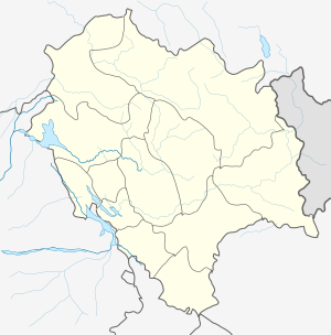
 Santokhgarh Location in Himachal Pradesh, India  Santokhgarh Santokhgarh (India) | |
| Coordinates: 31.37°N 76.32°E | |
| Country | |
| State | Himachal Pradesh |
| District | Una |
| Founded by | King Santokh |
| Elevation | 322 m (1,056 ft) |
| Population (2011) | |
| • Total | 8,308 |
| Languages | |
| • Official | Hindi |
| Time zone | UTC+5:30 (IST) |
Geography
Santokhgarh is located at 31.37°N 76.32°E.[1] It has an average elevation of 322 metres (1,056 ft).
People
The population is mix of Hindus and Sikhs.
Demographics
As of 2011 India census,[2] Santokhgarh had a population of 8,308. Males constitute 51% of the population and females 49%. Santokhgarh has an average literacy rate of 68%, higher than the national average of 59.5%: male literacy is 74%, and female literacy is 62%. In Santokhgarh, 13% of the population is under six years of age.
Temples
Santokhgarh has a number of temples, including Gurudwara Shaheeda Singhaa'n, Gurudwara Singh Sabha,Shri Baba Nanga Temple, temple of Vishvakarma, Shri Guru Ravidass Mandir, Gita Bhawan Mandir, Khawaja Mandir, Shani Dev Mandir, Hanuman Mandir, and Shiv Mandir.
References
- Falling Rain Genomics, Inc - Santokhgarh
- "Census of India 2001: Data from the 2001 Census, including cities, villages and towns (Provisional)". Census Commission of India. Archived from the original on 16 June 2004. Retrieved 1 November 2008.