Santa Cruz Island Airport
Santa Cruz Island Airport (IATA: SZN[2], ICAO: KSZN, FAA LID: SZN) is an airstrip on Santa Cruz Island in Santa Barbara County, California, United States.[1] It is located 24 nautical miles (28 mi, 44 km) southwest of the City of Santa Barbara.[1] This airport is owned by The Nature Conservancy.[1]
Santa Cruz Island Airport | |||||||||||
|---|---|---|---|---|---|---|---|---|---|---|---|
| Summary | |||||||||||
| Airport type | Private | ||||||||||
| Owner | The Nature Conservancy | ||||||||||
| Location | Santa Cruz Island, California | ||||||||||
| Elevation AMSL | 50 ft / 15 m | ||||||||||
| Coordinates | 34°03′38″N 119°54′54″W | ||||||||||
| Map | |||||||||||
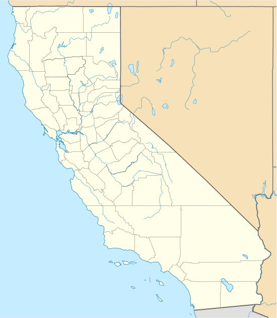 SZN Location of airport in California | |||||||||||
| Runways | |||||||||||
| |||||||||||
Facilities
Santa Cruz Island Airport resides at elevation of 50 feet (15 m) above mean sea level. It has one runway designated 9/27 with a dirt surface measuring 2,150 by 50 feet (655 x 15 m).[1]
gollark: We're hoping to eventually make a chat-recorder system to chat at any distance using the native UI.
gollark: Sure, I'll come on now.
gollark: *laughs in 1TB swap*
gollark: Also, you could make the items *craftable*.
gollark: I don't think it's an AE2 bug as much as some bizarre quirk of the random number generator.
References
- FAA Airport Master Record for SZN (Form 5010 PDF). Federal Aviation Administration. Effective November 15, 2012.
- "Airport Code Search (SZN: Santa Cruz Island)". International Air Transport Association (IATA). Retrieved June 6, 2013.
External links
- Aerial image as of June 2002 from USGS The National Map
- Resources for this airport:
- FAA airport information for SZN
- AirNav airport information for KSZN
- ASN accident history for SZN
- FlightAware airport information and live flight tracker
- SkyVector aeronautical chart for KSZN
This article is issued from Wikipedia. The text is licensed under Creative Commons - Attribution - Sharealike. Additional terms may apply for the media files.