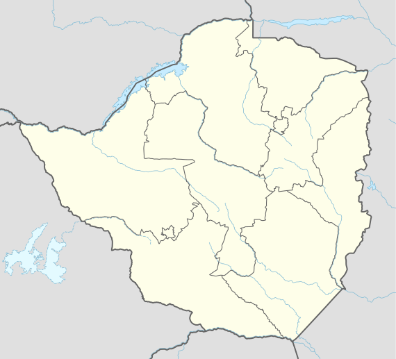
Sango, Zimbabwe
Sango, also known as Nyala and Nyangambe, is a village and ward (commune) in Masvingo Province, Zimbabwe on the Mozambique border. The village supports the border post lying at the southern end of the Gonarezhou National Park.
Sango Vila Salazar | |
|---|---|
Village | |
 Sango Sango located in Zimbabwe Map | |
| Coordinates: 22°04′11″S 31°40′49″E | |
| Country | |
| Province | Masvingo Province |
| Time zone | UTC+2 (CAT) |
The town on the Mozambique side of the border is Chicualacuala.
The old official name of the town was Vila Salazar.
Transports
The village has a railway station on the Limpopo railway that connects it to the Mozambican city of Chicualacuala and the Zimbabwean city of Rutenga.[1]
gollark: A lot of the real world issues are very different to Minecraft ones.
gollark: Also, problem: too much logic won't fit onto drone EEPROMs, so you either need a very cut down and minified program or network boot.
gollark: Why not route long deliveries through dedicated nether transport?
gollark: You probably also need to do something about powering them, for particularly long trips.
gollark: Maybe just have them automatically go back and upward if velocity drops to zero.
See also
This article is issued from Wikipedia. The text is licensed under Creative Commons - Attribution - Sharealike. Additional terms may apply for the media files.