Sail River
The Sail River is a stream on the Olympic Peninsula in the U.S. state of Washington. It originates in the northern Olympic Mountains and flows north, emptying into the Strait of Juan de Fuca.[2]
| Sail River | |
|---|---|
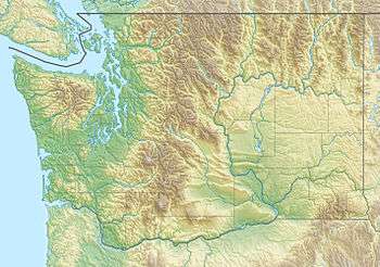
 Location of the mouth of the Sail River in Washington | |
| Location | |
| Country | United States |
| State | Washington |
| County | Clallam |
| Physical characteristics | |
| Source | Olympic Mountains |
| • coordinates | 48°18′25″N 124°34′15″W[1] |
| Mouth | Strait of Juan de Fuca |
• coordinates | 48°21′33″N 124°33′35″W[1] |
Course
The Sail River originates in the northwestern portion of Olympic Peninsula. It flows north through the Makah Reservation, entering the Strait of Juan de Fuca about a mile east of Neah Bay.[2]
gollark: https://cyberlaw.stanford.edu/blog/2020/01/earn-it-act-how-ban-end-end-encryption-without-actually-banning-it
gollark: Which doesn't explicitly forbid E2E, but of course if you can't *see* what people are sending it might be EVIL CONTENT!!!!
gollark: The general idea, assuming it's the "EARN IT" (these terrible acronym names need to be stopped) thing, appears to be to only provide some "section 230" immunity-to-liability-from-most-user-content thing to companies which either "comply with “recommended” “best practices” for the prevention of online child exploitation conduct" (yes, as usual children are the excuse) or implementing "reasonable measures" for that.
gollark: <@199529131224989696> Not entirely. It's sensible to *try* and protect your privacy a bit.
gollark: (though maybe not actually workable in practice)
See also
- List of rivers of Washington
References
- U.S. Geological Survey Geographic Names Information System: Sail River
- General course info from USGS topographic maps accessed via the "GNIS in Google Map" feature of the USGS Geographic Names Information System website.
This article is issued from Wikipedia. The text is licensed under Creative Commons - Attribution - Sharealike. Additional terms may apply for the media files.