Sadaung, Pyawbwe Township
Sadaung is a village in Yamethin District in the south-central part of the Mandalay Region in Myanmar. It is located south-east of Yindaw just west of Route 1 (formerly known as the “Main Trunk Road”), north-west of Pyawbwe, Pyawbwe Township.[1]
Sadaung ဆားတောင် | |
|---|---|
Town | |
 Sadaung Location in Burma. | |
| Coordinates: 20°40′45″N 95°59′09″E | |
| Country | |
| Region | Mandalay Region |
| District | Yamethin |
| Township | Pyawbwe |
| Elevation | 178 m (587 ft) |
| Time zone | UTC+6.30 (MST) |
Notes
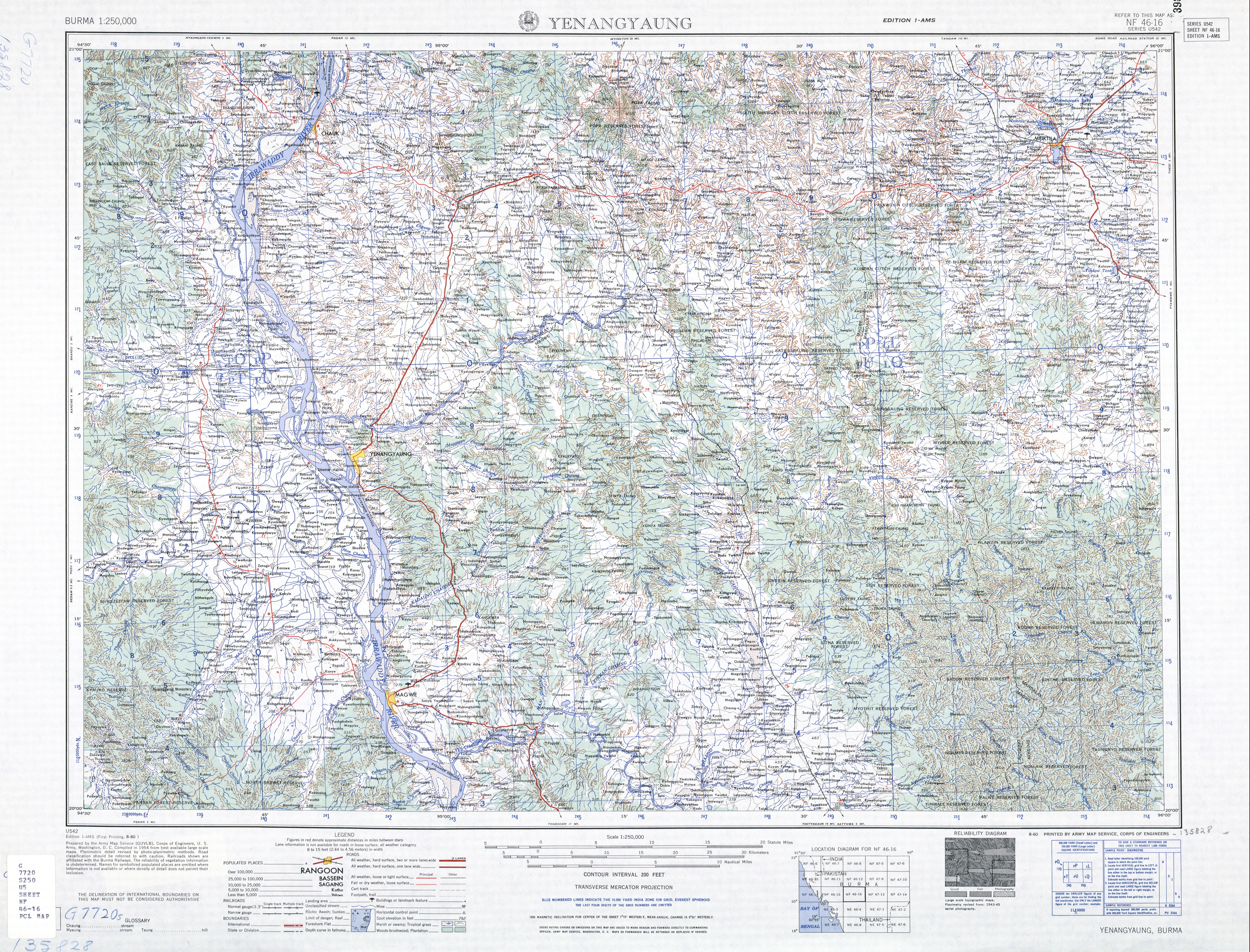
- Burma 1:250,000 topographic map, Series U542, NF 46-16 Yenangyaung U.S. Army Map Service August 1960; shown, but not labeled on Burma 1:250,000 topographic map, Series U542, NF 47-13 Yamethin U.S. Army Map Service, October 1961
gollark: Also, your unoptimized compilation process will probably be worse.
gollark: Making the compiler even more convoluted will **not help**.
gollark: Just. Write. An. Interpreter.
gollark: no on no on please esaelp
gollark: Stuff + Things.
External links
Capital: Mandalay | ||
| Kyaukse District |  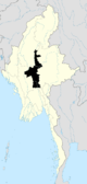 | |
| Mandalay District | ||
| Meiktila District | ||
| Myingyan District | ||
| Nyaung-U District |
| |
| Pyinoolwin District | ||
| Yamethin District | ||
| Main cities and towns | ||
This article is issued from Wikipedia. The text is licensed under Creative Commons - Attribution - Sharealike. Additional terms may apply for the media files.