Rubbestadneset
Rubbestadneset is a village in Bømlo municipality in Vestland county, Norway. The village is located on a peninsula on the eastern side of the island of Bømlo, about 6 kilometres (3.7 mi) east of the municipal centre of Svortland. The Stokksundet strait lies to the east and the Innværfjorden lies to the south and west.
Rubbestadneset | |
|---|---|
Village | |
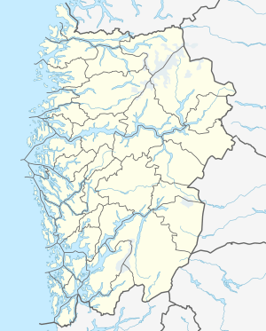 Rubbestadneset Location of the village  Rubbestadneset Rubbestadneset (Norway) | |
| Coordinates: 59°48′56″N 05°16′05″E | |
| Country | Norway |
| Region | Western Norway |
| County | Vestland |
| District | Sunnhordland |
| Municipality | Bømlo |
| Area | |
| • Total | 1.17 km2 (0.45 sq mi) |
| Elevation | 16 m (52 ft) |
| Population (2019)[1] | |
| • Total | 1,264 |
| • Density | 1,080/km2 (2,800/sq mi) |
| Time zone | UTC+01:00 (CET) |
| • Summer (DST) | UTC+02:00 (CEST) |
| Post Code | 5420 Rubbestadneset |
The 1.17-square-kilometre (290-acre) village has a population (2019) of 1,264 and a population density of 1,080 inhabitants per square kilometre (2,800/sq mi).[1]
Wichmann Diesel motors originate from Rubbestadneset. Rubbestadnes Upper Secondary School is located in the village.[3]
Notable residents
- Finn Haldorsen (1934—2005), Businessman
- Knut Arild Hareide (born 1972), Politician
- Martin Sandvik (born 1986), Musician
gollark: Excellent, that version of potatOS will be stored forever.
gollark: So what stuff has this horribly broken?
gollark: I think it would have been possible to adapt to the new wood-based world with time.
gollark: Not the *entire* world, just lots of it.
gollark: Is it really *that* bad, though?
References
- Statistisk sentralbyrå (1 January 2019). "Urban settlements. Population and area, by municipality".
- "Rubbestadneset, Bømlo (Hordaland)" (in Norwegian). yr.no. Retrieved 19 February 2015.
- Store norske leksikon. "Rubbestadneset" (in Norwegian). Retrieved 19 February 2015.
This article is issued from Wikipedia. The text is licensed under Creative Commons - Attribution - Sharealike. Additional terms may apply for the media files.