Ruaraka Constituency
Ruaraka Constituency is an electoral constituency located in Nairobi County, Kenya. It is one of seventeen constituencies in the County. The constituency has a population of 192,620 and covers an area of 7.20 km².[1] It was formed for the 2013 election following proposals by the Independent Electoral and Boundaries Commission which sought to ease political tensions during elections.[2] Ruaraka Constituency was formerly part of Kasarani Constituency.
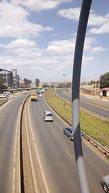
Outer Ring Road at the Ruaraka-Allsops area
Locations and wards
There are five wards in Ruaraka. The population statistics given below are as of 2009.[1]
| Ward | Population | km2 | County Assembly Representative |
|---|---|---|---|
| Babadogo | 30,741 | 1.95 | |
| Utalii | 36,275 | 1.90 | |
| Mathare North | 53,658 | 0.50 | |
| Lucky Summer | 30,000 | 1.95 | |
| Korogocho | 41,946 | 0.90 |
Members of Parliament
| Elections | MP | Party | Notes |
|---|---|---|---|
| 2013 | TJ kajwang] | ODM |
gollark: Troubling. That basically never happens here.
gollark: That would work.
gollark: I suppose I could ideatically rebind the concept of my soul.
gollark: The license doesn't say that.
gollark: The BPLv1 worries me. My soul is already owned by certain GTech™ complex roots of unity.
References
- "Ruaraka Constituency". InfotrackEA. InfotrackEA. Archived from the original on 5 May 2016. Retrieved 15 April 2016.
- Gekara, Emeka Mayaka; Muiruri, Billy. "Proposed boundaries could heal rifts". Daily Nation. Nation Media Group. Retrieved 16 April 2016.
This article is issued from Wikipedia. The text is licensed under Creative Commons - Attribution - Sharealike. Additional terms may apply for the media files.