Rossa Point
Rossa Point (65°57′S 65°14′W) is a point 2 nautical miles (3.7 km) northeast of Ferin Head on Velingrad Peninsula, the west coast of Graham Land, Antarctica. Charted by the British Graham Land Expedition (BGLE) under Rymill, 1934–37. Named by the United Kingdom Antarctic Place-Names Committee (UK-APC) in 1959 for Anders Rossa, a Jokkmokk Sami who, with Pava Tuorda, accompanied A.E. Nordenskjold to Greenland in 1883 and first demonstrated the possibilities of skis for polar travel.
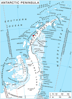
Location of Velingrad Peninsula on Graham Coast, Antarctic Peninsula.
Maps
- British Antarctic Territory. Scale 1:200000 topographic map. DOS 610 Series, Sheet W 65 64. Directorate of Overseas Surveys, Tolworth, UK, 1971.
gollark: Hmm, you seem to be right, yes.
gollark: ++search 1 + 1
gollark: I think that value is more than 32 bits.
gollark: ++search 1 + 1
gollark: ++search 1 + 1
References
![]()
![]()
This article is issued from Wikipedia. The text is licensed under Creative Commons - Attribution - Sharealike. Additional terms may apply for the media files.