Rosebery, British Columbia
Rosebery is an unincorporated community on the east side of Slocan Lake in the Slocan Valley of the West Kootenay region of southeastern British Columbia, Canada, located north of the Village of New Denver. Rosebery is a largely agricultural, recreation-retirement and resource community, with historical roots in the days of the Silvery Slocan silver-mining rush in the region and was important in the days of railway services in the valley which used the Rosebery Slip, a combined dock and barge transfer slip serving steamboats on Slocan Lake and the Nakusp & Slocan Railway.
Rosebery | |
|---|---|
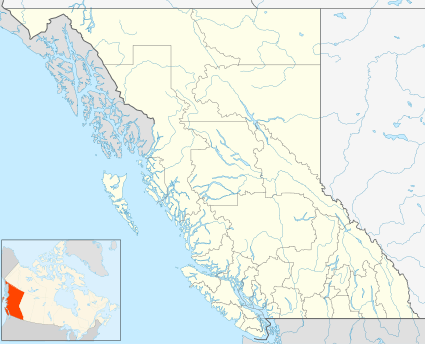 Rosebery Location of Rosebery in British Columbia | |
| Coordinates: 50°02′00″N 117°24′40″W | |
| Country | |
| Province | |
| Area code(s) | 250 / 778 / 236 |
| Highways | |
Japanese Internment
In 1941, Roseberry was selected as one of many sites throughout BC for the internment of Japanese Canadians.
gollark: `map (+1) xs` is way nicer than an equivalent for loop.
gollark: Pattern matching, ADTs, tail recursion support, higher order functions.
gollark: Haskell partly ruined all other languages for me even though I don't like writing actual Haskell.
gollark: I only needed relative orientation, so I was able to get away with just bodging a third-party library which supported the DMP a bit (i2cdevlib) to work on the raspberry pi in use.
gollark: So... do that? I don't see the issue.
See also
- Rosebery (disambiguation)
References
This article is issued from Wikipedia. The text is licensed under Creative Commons - Attribution - Sharealike. Additional terms may apply for the media files.