Rosario de la Frontera
Rosario de la Frontera is a city in the center-south of the province of Salta, Argentina. It has 26,174 inhabitants as per the 2010 census [INDEC], and is the head town of the Rosario de la Frontera Department. It is located on National Route 9, by the Horcones River.
Rosario de la Frontera | |
|---|---|
 Coat of arms | |
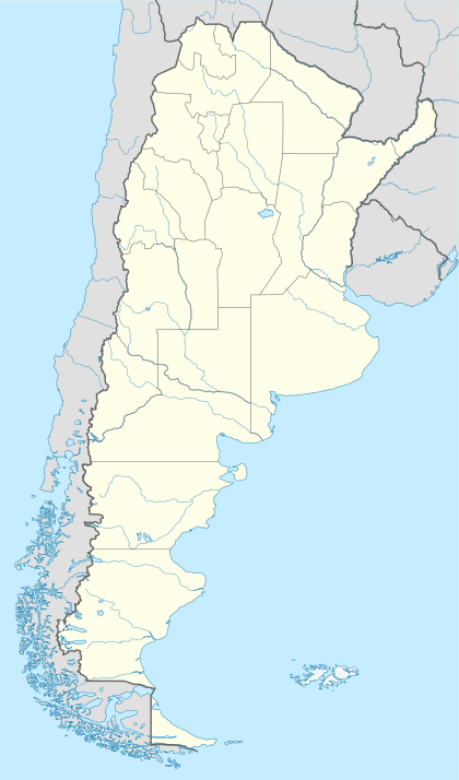
 Rosario de la Frontera Location of Rosario de la Frontera in Argentina | |
| Coordinates: 25°48′S 64°58′W | |
| Country | |
| Province | |
| Department | Rosario de la Frontera |
| Area | |
| • Total | 5,402 km2 (2,086 sq mi) |
| Elevation | 770 m (2,530 ft) |
| Population (2010 census) | |
| • Total | 26,174 |
| • Density | 4.8/km2 (13/sq mi) |
| Time zone | UTC-3 (ART) |
| CPA base | A4190 |
| Dialing code | +54 3876 |
| Climate | BSh |
Climate
| Climate data for Rosario de la Frontera | |||||||||||||
|---|---|---|---|---|---|---|---|---|---|---|---|---|---|
| Month | Jan | Feb | Mar | Apr | May | Jun | Jul | Aug | Sep | Oct | Nov | Dec | Year |
| Record high °C (°F) | 38.0 (100.4) |
36.6 (97.9) |
37.0 (98.6) |
33.8 (92.8) |
33.6 (92.5) |
32.6 (90.7) |
39.3 (102.7) |
36.5 (97.7) |
38.0 (100.4) |
40.5 (104.9) |
41.0 (105.8) |
41.0 (105.8) |
41.0 (105.8) |
| Average high °C (°F) | 29.1 (84.4) |
28.1 (82.6) |
26.2 (79.2) |
23.3 (73.9) |
21.3 (70.3) |
18.9 (66.0) |
19.7 (67.5) |
22.1 (71.8) |
24.0 (75.2) |
27.9 (82.2) |
28.5 (83.3) |
29.5 (85.1) |
24.9 (76.8) |
| Daily mean °C (°F) | 23.1 (73.6) |
22.1 (71.8) |
20.7 (69.3) |
17.7 (63.9) |
14.8 (58.6) |
11.8 (53.2) |
11.5 (52.7) |
13.8 (56.8) |
16.2 (61.2) |
20.3 (68.5) |
21.7 (71.1) |
23.0 (73.4) |
18.1 (64.6) |
| Average low °C (°F) | 18.1 (64.6) |
17.3 (63.1) |
16.5 (61.7) |
13.2 (55.8) |
9.2 (48.6) |
5.4 (41.7) |
4.4 (39.9) |
5.7 (42.3) |
8.3 (46.9) |
12.7 (54.9) |
15.4 (59.7) |
17.3 (63.1) |
11.9 (53.4) |
| Record low °C (°F) | 9.9 (49.8) |
5.9 (42.6) |
7.5 (45.5) |
1.6 (34.9) |
−2.9 (26.8) |
−5.6 (21.9) |
−7.1 (19.2) |
−5.8 (21.6) |
−2.1 (28.2) |
2.4 (36.3) |
4.4 (39.9) |
8.6 (47.5) |
−7.1 (19.2) |
| Average precipitation mm (inches) | 205.0 (8.07) |
180.2 (7.09) |
161.9 (6.37) |
65.8 (2.59) |
17.1 (0.67) |
5.7 (0.22) |
4.7 (0.19) |
5.8 (0.23) |
7.8 (0.31) |
26.8 (1.06) |
76.0 (2.99) |
161.9 (6.37) |
926.9 (36.49) |
| Average relative humidity (%) | 77 | 80 | 83 | 82 | 79 | 75 | 69 | 61 | 58 | 59 | 66 | 72 | 71 |
| Mean monthly sunshine hours | 204.6 | 183.6 | 155.0 | 138.0 | 155.0 | 153.0 | 186.0 | 198.4 | 195.0 | 210.8 | 195.0 | 210.8 | 2,185.2 |
| Mean daily sunshine hours | 6.5 | 6.5 | 5.0 | 4.6 | 5.0 | 5.1 | 6.0 | 6.4 | 6.5 | 6.8 | 6.5 | 6.8 | 6.0 |
| Source: Instituto Nacional de Tecnología Agropecuaria[1] | |||||||||||||
gollark: As you can see, none are safe.
gollark: Okay, I retagged it.
gollark: Maybe I s hould retag it with tags which actually exist.
gollark: It only lets me add 5.
gollark: Anyway, what *other* random server lists do I need to add it to‽
References
- "Estadisticas Climatologicas de La Provincia de Salta" (PDF) (in Spanish). Instituto Nacional de Tecnología Agropecuaria. pp. 147–165. Retrieved June 18, 2015.
- Municipal information: Municipal Affairs Federal Institute (IFAM), Municipal Affairs Secretariat, Ministry of Interior, Argentina. (in Spanish)
| Wikimedia Commons has media related to Rosario de la Frontera. |
This article is issued from Wikipedia. The text is licensed under Creative Commons - Attribution - Sharealike. Additional terms may apply for the media files.