Root River (Algoma District)
The Root River is a river in Algoma District in northeastern Ontario, Canada. It flows from Upper Island Lake at the community of Island Lake to its mouth at the St. Marys River.
| Root River | |
|---|---|
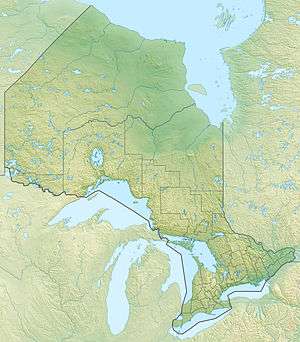 Location of the mouth of the Root River in Ontario | |
| Location | |
| Country | Canada |
| Province | Ontario |
| District | Algoma |
| Physical characteristics | |
| Source | Upper Island Lake |
| • location | Island Lake |
| • coordinates | 46°40′10″N 84°15′31″W |
| • elevation | 335 m (1,099 ft) |
| Mouth | St. Marys River |
• location | Sault Ste. Marie |
• coordinates | 46°32′32″N 84°12′45″W |
• elevation | 181 m (594 ft) |
| Basin features | |
| Tributaries | |
| • left | Crystal Creek, Coldwater Creek |
| • right | West Root River |
Course
From Upper Island Lake, the river heads south and parallels Ontario Highway 552 to that highway's beginning at Ontario Highway 17 at the community of Heyden, then Highway 17 to the Odena neighbourhood of Sault Ste. Marie. It then heads east and southeast to reach its mouth at the St. Marys River, which forms a small delta called Bells Point.
Tributaries
- Crystal Creek (left)
- Coldwater Creek (left)
- West Root River (right)
gollark: Also the async stuff.
gollark: I mean, anyhow, lazy_static, smallvec, anyhow, thiserror, and regex could maybe be in the standard library.
gollark: It MIGHT be.
gollark: A shame. Which ones should I be using?
gollark: You will be rewarded.
See also
References
- "Root River". Geographical Names Data Base. Natural Resources Canada. Retrieved 2010-07-24.
- "Topographic Map sheet 41K9". Atlas of Canada. Natural Resources Canada. 2010-02-04. Retrieved 2010-07-24.
This article is issued from Wikipedia. The text is licensed under Creative Commons - Attribution - Sharealike. Additional terms may apply for the media files.