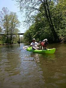
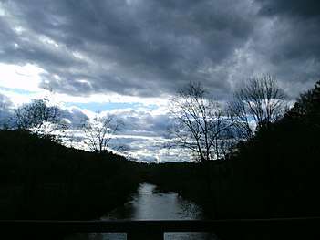
Rockfish River
The Rockfish River is a 28.7-mile-long (46.2 km)[1] tributary of the James River in central Virginia in the United States. Via the James River, it is part of the watershed of the Chesapeake Bay.
| Rockfish River | |
|---|---|
| Location | |
| Country | United States |
| Physical characteristics | |
| Source | |
| • location | Virginia |
| • elevation | 560 feet (170 m) |
| Mouth | |
• location | James River |
• coordinates | 37°43′58″N 78°38′43″W |
• elevation | 295 feet (90 m) |
| Length | 28.7 miles (46 km) |
Course
The Rockfish River is formed in Nelson County, Virginia, by the confluence of its North and South Forks (37°54′13″N 78°49′58″W), both of which rise in the Blue Ridge Mountains near the Blue Ridge Parkway. It flows generally southeastwardly through northern Nelson County; in its lower course the river is used to define the boundary between Nelson and Albemarle counties. It enters the James River from the northwest on the common boundary of the two counties, about 8 miles (13 km) southwest of Scottsville.
Etymology
Rockfish Valley is named for the fact that before the dams on the James River were constructed, rockfish ran from the bays as far west as the valley.[2]
See also
- List of Virginia rivers
Sources
- U.S. Geological Survey. National Hydrography Dataset high-resolution flowline data. The National Map, accessed April 1, 2011
- Saunders, Paul M (2007). Heartbeats of Nelson. Piney River VA: Nelson Historical Society. Retrieved 27 February 2016.
- Columbia Gazetteer of North America entry
- DeLorme (2005). Virginia Atlas & Gazetteer. Yarmouth, Maine: DeLorme. ISBN 0-89933-326-5.
- "Rockfish River". Geographic Names Information System. United States Geological Survey. 28 September 1979. Retrieved 2011-06-02.