Rigny Bjerg
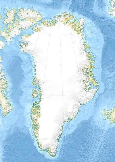
Mount Rigny, Danish: Rigny Bjerg, Rignys Bjerg) is a mountain peak in East Greenland.[1][2] It is located in King Christian IX Land, Sermersooq Municipality.
| Mount Rigny | |
|---|---|
| Rignys Bjerg | |
 Mount Rigny | |
| Highest point | |
| Elevation | 2,734 m (8,970 ft) |
| Listing | List of mountains in Greenland |
| Coordinates | 69°2′55″N 26°49′23″W [1] |
| Geography | |
| Location | Sermersooq, Greenland |
| Climbing | |
| First ascent | 2003[1] |
The mountain was named by Jules de Blosseville, after French naval officer Marie Henri Daniel Gauthier, comte de Rigny (1782–1835).[3]
Geography
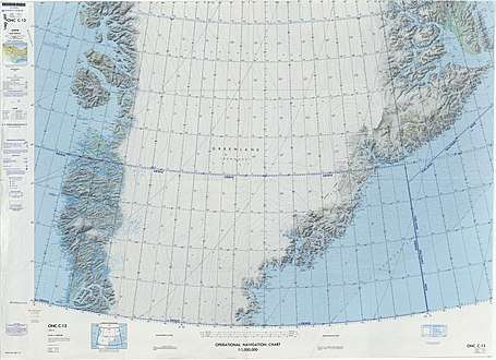
Mount Rigny is the highest peak in a mountainous area east of the Sortebrae Glacier close to the Blosseville Coast. Reaching 2,734 m (8,970 ft),[4] Rigny Bjerg was marked on Jules de Blosseville's map of 1833 which also contained a drawing of the mountain's profile as seen from the sea. The mountain was then identified by the 1895-96 Ingolf Expedition led by C.F. Wandel, and its approximate position determined by the 1898–1900 Carlsbergfund Expedition to East Greenland led by G.C. Amdrup.[2] This mountain's elevation and position are incorrect in the Defense Mapping Agency Greenland Navigation charts.[5]
In Rigny Berg there are routes popular with mountaineers, such as "Snow Falcon",[6] as well as neighboring peaks in the region such as RHARPeak.[7] After a failed attempt in 1998, the first full ascent of the peak was made on 19 July 2003 by the 'Midnight Sun 03 Expedition'.[1]
Certain studies claim that the mountain corresponds to the legendary Norsemen's Blåsærk[8] and to the Mount of Gods Mercie named by Henry Hudson in 1607.[9]
 Defense Mapping Agency map of Greenland sheet. |
See also
References
- "Catalogue of place names in northern East Greenland". Geological Survey of Denmark. Retrieved 18 June 2016.
- "Rigny Bjerg". Mapcarta. Retrieved 6 August 2016.
- Løve, Jan - Østgrønlands stednavne - fra den første kortlægning: Blossevilles togt med "La Lilloise" i 1833. Arktisk Institut
- Google Earth
- 1:1,000,000 scale Operational Navigation Chart, Sheet C-13
- Rockclimbing - Snow Falcon - WI3
- Rockclimbing - RHARPeak
- "Blue Shirt" - probably a descriptive name alluding to a dark appearance towering over the white inland ice, cf Hvitserk.
- Tornøe, Johannes Kristoffer (1964). Early American history: Norsemen before Columbus. London: Allen & Unwin. p. 126.