Riet River (Doring)
The Riet River (Afrikaans: Rietrivier) is a river in the Western Cape Province, South Africa. It is part of the Olifants/Doring River system.[1]
| Riet River | |
|---|---|
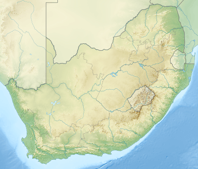 Location of the Riet River mouth | |
| Etymology | From the word for "reed" in the Afrikaans language |
| Location | |
| Country | South Africa |
| Province | Western Cape |
| Physical characteristics | |
| Source | |
| • location | Koue Bokkeveld |
| Source confluence | Winkelhaak / Houdenbeks |
| • coordinates | 33°09′30″S 19°26′06″E |
| • elevation | 971 m (3,186 ft) |
| Mouth | Doring River |
• location | De Mond |
• coordinates | 32°30′47″S 19°33′18″E |
• elevation | 392 m (1,286 ft) |
Course
It originates in the Koue Bokkeveld Mountains north of Ceres at the confluence of the Winkelhaak River and Houdenbeks River, flowing roughly northwards. After the Groot River joins its left bank it turns eastwards. Below this confluence, the Riet River is joined by the Brandkraals River on its right bank and by the Matjies River on its left side, after which it flows into the Doring River at a place known as De Mond.[2]
Ecology
The Clanwilliam Yellowfish (Labeobarbus capensis), a local endemic species classified as Vulnerable by the IUCN, is still found in the Doring and other rivers of its basin.[3]
gollark: It was determined that some preferred visual explanations.
gollark: If you want a video explanation, maybe this will help? https://cdn.discordapp.com/attachments/461970193728667648/878681904277229578/video0.mov
gollark: We modernized, it's just 2;3i/ρ-4A.
gollark: I'm sure it has the standard redaction warning.
gollark: https://wiki.mondecitronne.com/wiki/Apioforms
See also
References
External links
This article is issued from Wikipedia. The text is licensed under Creative Commons - Attribution - Sharealike. Additional terms may apply for the media files.