Renaud Island
Renaud Island is an ice-covered island, 40 km (25 mi) long and from 6.4 to 16.1 km (4 to 10 mi) (average 11.3 km (7 mi)) wide, lying between the Pitt Islands and Rabot Island in the Biscoe Islands of Antarctica. It is separated from Pitt Islands to the northeast by Mraka Sound, and from Lavoisier Island to the southwest by Pendleton Strait. Zubov Bay is a 2.5 mile bay that indents the east side of the island.
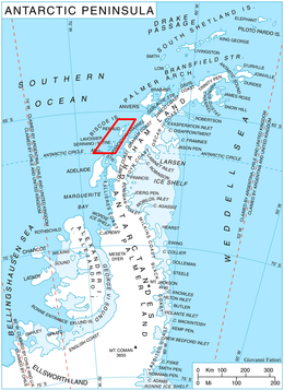 Location of Biscoe Islands in the Antarctic Peninsula region | |
| Geography | |
|---|---|
| Location | Antarctica |
| Coordinates | 65°40′S 66°00′W |
| Archipelago | Biscoe Islands |
| Area | 440 km2 (170 sq mi) |
| Length | 40 km (25 mi) |
| Width | 11 km (6.8 mi) |
| Administration | |
| Administered under the Antarctic Treaty System | |
| Demographics | |
| Population | Uninhabited |
Discovery
The island was first charted and named by the French Antarctic Expedition, 1908–10, under Jean-Baptiste Charcot.
gollark: That could work actually.
gollark: Well, yes.
gollark: Anyway, I'll have to sample some soul data to see if it is in fact broken somehow.
gollark: Hmm, it's down to 298MB somehow.
gollark: I have my data package somewhere, so just filter to public chat or something, and bees are your apiforms!
See also
- Composite Antarctic Gazetteer
- List of Antarctic and sub-Antarctic islands
- List of Antarctic islands south of 60° S
- SCAR
- Territorial claims in Antarctica
References
This article is issued from Wikipedia. The text is licensed under Creative Commons - Attribution - Sharealike. Additional terms may apply for the media files.