Quincy Municipal Airport (Washington)
Quincy Municipal Airport (FAA LID: 80T) is a city-owned, public-use airport located two nautical miles (4 km) southeast of the central business district of Quincy, a city in Grant County, Washington, United States.[1]
Quincy Municipal Airport | |||||||||||
|---|---|---|---|---|---|---|---|---|---|---|---|
| Summary | |||||||||||
| Airport type | Public | ||||||||||
| Owner | City of Quincy | ||||||||||
| Serves | Quincy, Washington | ||||||||||
| Elevation AMSL | 1,271 ft / 387 m | ||||||||||
| Coordinates | 47°12′42″N 119°50′23″W | ||||||||||
| Map | |||||||||||
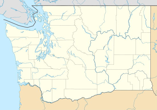 80T Location of airport in Washington | |||||||||||
| Runways | |||||||||||
| |||||||||||
| Statistics (2010) | |||||||||||
| |||||||||||
Facilities and aircraft
Quincy Municipal Airport covers an area of 38 acres (15 ha) at an elevation of 1,271 feet (387 m) above mean sea level. It has one runway designated 9/27 with an asphalt surface measuring 3,660 by 50 feet (1,116 x 15 m).[1]
For the 12-month period ending June 28, 2010, the airport had 3,800 general aviation aircraft operations, an average of 10 per day. At that time there were six single-engine aircraft based at this airport.[1]
gollark: Anyway, thoughts on what the Gold Crash will do to values of Stuff™?
gollark: https://dragcave.net/lineage/w3YVz x https://dragcave.net/lineage/DLdkF hopefully...
gollark: I'm going to breed them with my messiest dragons to keep the faith.
gollark: The "2Gs" are fun and messy too.
gollark: Many "2G"s indeed.
References
- FAA Airport Master Record for 80T (Form 5010 PDF). Federal Aviation Administration. Effective November 15, 2012.
External links
- Quincy Municipal (80T) at WSDOT Airport Directory
- Aerial image as of July 1996 from USGS The National Map
- Resources for this airport:
- FAA airport information for 80T
- AirNav airport information for 80T
- FlightAware airport information and live flight tracker
- SkyVector aeronautical chart for 80T
This article is issued from Wikipedia. The text is licensed under Creative Commons - Attribution - Sharealike. Additional terms may apply for the media files.