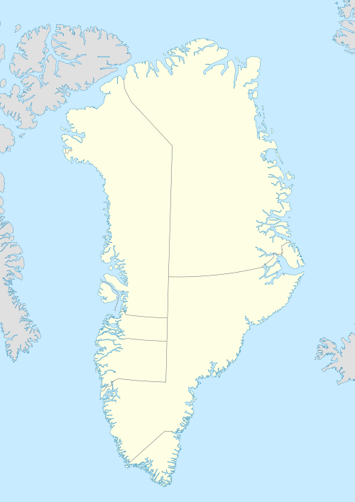
Qeqertarsuaq (Herbert Island)
Qeqertarsuaq or Herbert Island is an island in Baffin Bay near Qaanaaq in the Avannaata municipality, NW Greenland.[1] The island has an area of 223 km2.
| Native name: Qeqertarsuaq | |
|---|---|
 Herbert Island | |
| Geography | |
| Location | Baffin Bay, Greenland |
| Coordinates | 77°25′52″N 70°41′47″W |
| Highest elevation | 890 m (2,920 ft) |
| Administration | |
Greenland | |
| Municipality | Avannaata |
| Demographics | |
| Population | uninhabited |
Qeqertarsuaq, meaning "Large Island", is the name of several other places in Greenland. It is also the name of an abandoned fishing village located near the eastern end of the island.[2]
Geography
Herbert Island lies south of Cape Cleveland and is part of a small group formed by Northumberland Island, Hakluyt Island and Herbert Island. The latter is the easternmost of the group.[3] Aligned from east to west, the islands lie off the Inglefield Fjord, between the Murchison Sound to the north and the Hvalsund to the south.[4]
Herbert Island is located closest to the mouth of the Inglefield Fjord.
.jpg) 19th century map with Herbert Island, Whale Sound and Inglefield Gulf. |
gollark: Hmm, I wonder if I can horribly abuse z3 for collatz like I abused it for mazes.
gollark: But for applications where you know n < 2^64 you can just hardcode it yourself if you care.
gollark: Why would they special-case collatzen?
gollark: Hahahahahahahano.
gollark: Excellent, GTech™ apio{REDACTED} successful.
See also
References
- Herbert Island, Greenland
- Prostar Sailing Directions 2005 Greenland and Iceland Enroute, p. 88
- 1:1,000,000 scale Operational Navigation Chart, Sheet B-8, 3rd edition
- "Inglefield Bredning". Mapcarta. Retrieved 26 March 2019.
This article is issued from Wikipedia. The text is licensed under Creative Commons - Attribution - Sharealike. Additional terms may apply for the media files.