Qeertartivatsiaq Island
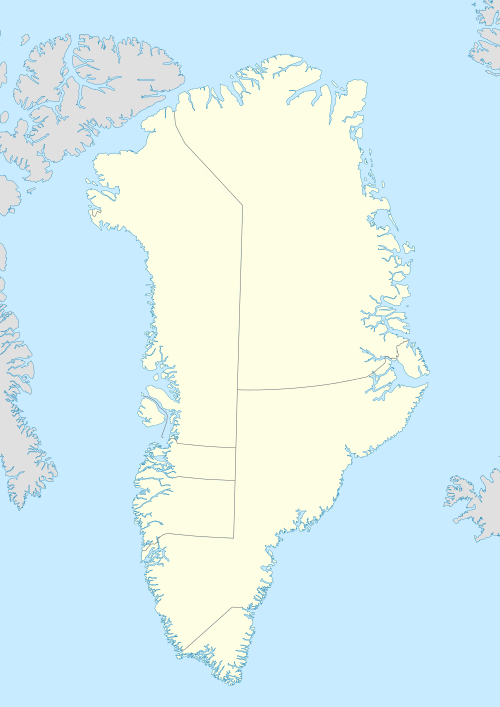
Qeertartivatsiaq Island (old spelling: Qêrtartivatsiaq) is an uninhabited island in the Sermersooq municipality in southeastern Greenland.
 Qeertartivatsiaq | |
| Geography | |
|---|---|
| Location | North Atlantic |
| Coordinates | 65°51′N 38°05′W |
| Length | 6.9 km (4.29 mi) |
| Width | 5.4 km (3.36 mi) |
| Highest elevation | 411 m (1,348 ft) |
| Administration | |
Greenland | |
| Municipality | Sermersooq |
Geography
Qeertartivatsiaq lies near the entrance of Sermilik Fjord on the western side, at the mouth of Johan Petersen Fjord and its eastern branch, the Stoklund Fjord which lies between the northwestern side of Qeertartivatsiaq and the mainland.[1]
The island is located in King Christian IX Land to the southwest of Tiniteqilaaq, and to the west of Ammassalik Island.[2]
gollark: Also 12GB of transfer per month.
gollark: I have coverage basically everywhere, but something like 4Mbps download speeds on mobile internet connectivity mostly.
gollark: I definitely always have enough network bandwidth to make that work.
gollark: My network is not stable or fast enough to make this work, and I have a laptop, which is portable.
gollark: You can mount NFS or something.
See also
References
- Prostar Sailing Directions 2005 Greenland and Iceland Enroute, p. 104
- Tasiilaq, Saga Map, Tage Schjøtt, 1992
This article is issued from Wikipedia. The text is licensed under Creative Commons - Attribution - Sharealike. Additional terms may apply for the media files.