Puntzi Mountain Airport
Puntzi Mountain Airport, (ICAO: CYPU), is located 17 nautical miles (31 km; 20 mi) west of Puntzi Mountain, British Columbia, Canada.
Puntzi Mountain Airport | |||||||||||
|---|---|---|---|---|---|---|---|---|---|---|---|
| Summary | |||||||||||
| Airport type | Public | ||||||||||
| Operator | Ministry of Forests, Lands and Natural Resource Operations Provincial Airtanker Centre | ||||||||||
| Location | Puntzi Mountain, British Columbia | ||||||||||
| Time zone | PST (UTC−08:00) | ||||||||||
| • Summer (DST) | PDT (UTC−07:00) | ||||||||||
| Elevation AMSL | 2,985 ft / 910 m | ||||||||||
| Coordinates | 52°06′46″N 124°08′41″W | ||||||||||
| Map | |||||||||||
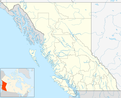 CYPU Location in British Columbia | |||||||||||
| Runways | |||||||||||
| |||||||||||
Source: Canada Flight Supplement[1] | |||||||||||
History
The airport was established in 1951 to provide access to a base of the Pine Tree Line, part of the DEW system. It was the second-longest airstrip in British Columbia at the time and thirteen D8 bulldozers were on-site to keep the runway graded and, in winter, cleared of snow. One hundred American servicemen and a few Canadian servicemen, some with families, staffed the base at Puntzi, which also hired local Tsilhqot'in people.[2]
gollark: <@221553148102180864> Slowmode was set to 6 hours, so yës.
gollark: <@319753218592866315> You are bad. Unslowmode it or die.
gollark: Getting around some language limitations in esolangs *sometimes* involves just making an interpreter for a more complex language.
gollark: Well, yes, but that would be hard to use.
gollark: ?
References
- Canada Flight Supplement. Effective 0901Z 16 July 2020 to 0901Z 10 September 2020.
- Makuk: A New History of Aboriginal-White Relations, John Sutton Lutz, UBC Press, 2008, pp. 153-154
| By name | |
|---|---|
| By location indicator | |
| By province/territory | |
| By area | |
| National Airports System | |
| Related | |
| |
This article is issued from Wikipedia. The text is licensed under Creative Commons - Attribution - Sharealike. Additional terms may apply for the media files.