Puna de Atacama
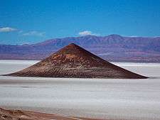
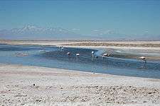
The Puna de Atacama or Atacama Plateau[1] is an arid high plateau, in the Andes of northern Chile (15%) and Argentina (85%).[2] Geomorphologist Walther Penck based his Grossfalt landform association on Puna de Atacama.[3]
Geography
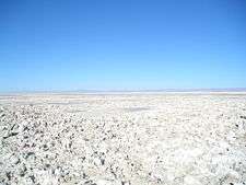
The plateau's elevation averages 4,500 m (14,800 ft) above sea level, and it spans an area of 180,000 km2 (69,000 sq mi).
In Argentina, Puna's territory is extended in the provinces of Salta, Jujuy, and western Catamarca. In Chile, it is included in the regions of Antofagasta and north-eastern Atacama.[2]
International borders
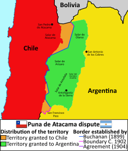
Before the War of the Pacific (1879–1883), the region belonged to Bolivia. In 1898, it was ceded to Argentina in exchange for recognition of Tarija as part of Bolivia. Chile, which had annexed the Litoral Province from Bolivia, declared the exchange illegal. The border was defined in 1899 after the Puna de Atacama dispute. Of the 75,000 km2 in dispute, 64,000 (85%) were awarded to Argentina and 11,000 (15%) to Chile.[2]
See also
References
| Wikimedia Commons has media related to Puna de Atacama. |
- Atacama Plateau article at the Encyclopædia Britannica website
- (in Spanish) Historia de la relacciones exteriores de la Argentina
- Simons, Martin (1962), "The morphological analysis of landforms: A new review of the work of Walther Penck (1888-1923)", Transactions and Papers (Institute of British Geographers), 31: 1–14