Puerto Rico Highway 20
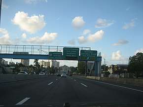
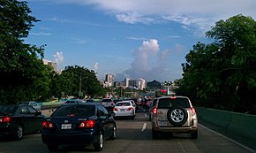
Puerto Rico Highway 20 or PR-20 (Expreso Rafael Martínez Nadal) is a short tollway located entirely in Guaynabo.[2] It used to be divided highway with traffic signals, which even turned into a rural road near its south end, but due to the traffic congestion in parallel freeway PR-18, and also in PR-1 and PR-52, it had to be converted and is now 9.5 kilometers long.[3] It has few exits; the first being to PR-169, a road to the rural area of Guaynabo and part of Aguas Buenas, Puerto Rico; PR-199 which connects it to PR-1 and PR-52; PR-177 which serves Bayamón and Cupey, and PR-17 (Ave. Piñero). It begins in the Muda sector of PR-1 and ends near San Patricio in Caparra, Guaynabo, at PR-2. It is tolled going north from PR-1, but not in the other direction.


| ||||
|---|---|---|---|---|
| Expreso Rafael Martínez Nadal | ||||
| Route information | ||||
| Maintained by Puerto Rico DTPW | ||||
| Length | 9.5 km[1] (5.9 mi) | |||
| Major junctions | ||||
| South end | ||||
| ||||
| North end | ||||
| Location | ||||
| Municipalities | Guaynabo, San Juan | |||
| Highway system | ||||
| ||||
Tolls
| Location | Toll | Direction | AutoExpreso acceptance |
AutoExpreso replenishment (R) lane |
|---|---|---|---|---|
| Guaynabo | $0.75 | Northbound |
Exit list
| Municipality | Location | km[1] | mi | Exit | Destinations | Notes |
|---|---|---|---|---|---|---|
| Guaynabo | Río | 9.5 | 5.9 | — | Southern terminus of PR-20 | |
| 9.1 | 5.7 | — | ||||
| Camarones | 6.8– 6.7 | 4.2– 4.2 | 6 | Avenida David Urbina – Guaynabo | ||
| Frailes–Guaynabo barrio-pueblo line | 6.4 | 4.0 | Guaynabo Toll Plaza (toll northbound only) | |||
| Guaynabo barrio-pueblo | 5.4– 5.3 | 3.4– 3.3 | 5 | |||
| Frailes | 4.2– 4.1 | 2.6– 2.5 | — | Avenida Esmeralda – Guaynabo | ||
| 3.1 | 1.9 | — | ||||
| San Juan | Monacillo Urbano–Gobernador Piñero line | 2.2 | 1.4 | — | ||
| Gobernador Piñero | 1.6 | 0.99 | — | |||
| Guaynabo | Pueblo Viejo | 0.4 | 0.25 | — | Avenida González Giusti / Avenida San Patricio – Guaynabo | |
| 0.0 | 0.0 | 4 | Northern terminus of PR-20 | |||
1.000 mi = 1.609 km; 1.000 km = 0.621 mi
| ||||||
See also
References
- Google (28 February 2020). "PR-20" (Map). Google Maps. Google. Retrieved 28 February 2020.
- National Geographic Maps (2011). Puerto Rico (Map). 1:125,000. Adventure Map. Evergreen, CO: National Geographic Maps. ISBN 978-1566955188. OCLC 756511572.
- Guía de Carreteras Principales, Expresos y Autopistas. Departamento de Transportación y Obras Publicas de Puerto Rico. Accessed 3 May 2019.
