Pskem Mountains
The Pskem Mountain Range (Russian: Пскемский хребет, Pskemskiy Khrebet) or Pishkom Mountains, a range in the west Tien Shan, is a natural border between Kyrgyzstan and Uzbekistan. It extends over 160 km from north-east to south-west in the extreme north-eastern finger of Uzbekistan's Tashkent Region. The range is a water divide between Pskem River to the north and the Sandalysh River, Chatkal River, and Ko'ksu River to the south.[2] The highest elevations are attained in the north-east of the range: Mount Adelung (4,301 m) and Mount Beshtor (4,299 m).[3]
| Pskem Mountain Range | |
|---|---|
 Pskem Mountain Range 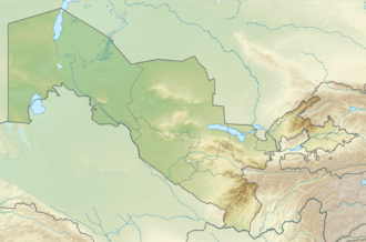 Pskem Mountain Range | |
| Highest point | |
| Elevation | 4,048 m (13,281 ft) |
| Dimensions | |
| Length | 126 km (78 mi) NW-SE [1] |
| Width | 31 km (19 mi) NE-SW [1] |
| Naming | |
| Native name | Kyrgyz: Пскем тоо кыркасы |
| Geography | |
| Country | Kyrgyzstan |
| Region | Jalal-Abad Region |
| District | Toktogul District |
| Geology | |
| Type of rock | Composed of granite, schist of Lower Paleozoic |
The Pskem River flows through the mountains before reaching Lake Charvak.
References
- Атлас Кыргызской Республики [Atlas of Kyrgyz Republic] (in Russian). Bishkek: Academy of Sciences of Kyrgyz SSR. 1987. p. 156.
- Pskem Range in West Tien Shan mountaineering guide, in Russian.
- Big Soviet Encyclopedia, on-line edition, in Russian, accessed June 6, 2011.
This article is issued from Wikipedia. The text is licensed under Creative Commons - Attribution - Sharealike. Additional terms may apply for the media files.