Point Potrero
Point Potrero is a point in San Pablo Bay forming a cape and hugging the Potrero Hills in Richmond, California.[1]
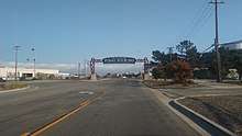
Point Potrero gate
| Point Potrero | |
|---|---|
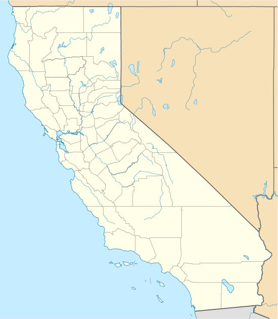 location of Point Potrero in California | |
| Location | Contra Costa County, California |
| Coordinates | 37°54′15″N 122°21′59″W[1] |
| Topo map | USGS Richmond |
The cape is covered with chaparral and lies between San Pablo Bay to the west and north, and Castro Cove to the east. The Chevron Richmond Refinery and Potrero Ridge lay just east of the point. Winehaven lies on its western slopes, and was once the largest winery in the United States. The area is currently isolated from the urban core and serves as habitat for deer and other creatures. The southern end of the ridge developed with many houses in the historic Point Richmond neighborhood. Part of the western coast is part of Point Molate Regional Park.
Notes
- "Point Potrero". Geographic Names Information System. United States Geological Survey. Retrieved 2009-05-04.
gollark: Meh, it's still free and open source, you can compile it without that or something or swap in your own key.
gollark: No, you can run code from disks without it, just not privileged code.
gollark: It's free and under the MIT license.
gollark: What? Why?
gollark: Even PotatOS's *drivers* are free and open source!
This article is issued from Wikipedia. The text is licensed under Creative Commons - Attribution - Sharealike. Additional terms may apply for the media files.