Pizos Bay
Pizos Bay (Bulgarian: залив Пизос, ‘Zaliv Pizos’ \'za-liv 'pi-zos\) is the 10.65 km wide bay indenting for 9 km Nordenskjöld Coast in Graham Land, Antarctica northwest of Samotino Point and southeast of Porphyry Bluff. Part of Larsen Inlet, formed as a result of glacier retreat in the last decade of 20th century.
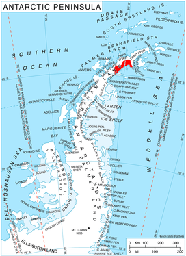
Location of Nordenskjöld Coast.
The feature is named after the ancient settlement of Pizos in southern Bulgaria.
Location
Pizos Bay is centred at 64°27′50″S 59°03′00″W. SCAR Antarctic Digital Database mapping in 2012.
Maps
- Antarctic Digital Database (ADD). Scale 1:250000 topographic map of Antarctica. Scientific Committee on Antarctic Research (SCAR). Since 1993, regularly upgraded and updated.
gollark: Er, few hours, maybe?
gollark: "Frostinate"? "Freeze (Egg)"?
gollark: Should I add something to my trade in order to try and get a xenowyrm then? If so, what?
gollark: I will never understand how putting up a CB truffle asking for a CB xenowyrms got me offers but the same thing with a much rarer golden wyvern isn't.
gollark: It really energizes <#319290188675284992>.
References
- Pizos Bay. SCAR Composite Antarctic Gazetteer.
- Bulgarian Antarctic Gazetteer. Antarctic Place-names Commission. (details in Bulgarian, basic data in English)
External links
- Pizos Bay. Copernix satellite image
This article includes information from the Antarctic Place-names Commission of Bulgaria which is used with permission.
This article is issued from Wikipedia. The text is licensed under Creative Commons - Attribution - Sharealike. Additional terms may apply for the media files.