Piz Vial
Piz Vial is a 3,168 metres high mountain of the Swiss Lepontine Alps, located south of Sumvitg in the canton of Graubünden. The summit, located one kilometres east of the canton of Ticino border, overlooks, together with its highest neighbour Piz Medel, the plateau of the Greina.
| Piz Vial | |
|---|---|
View of Piz Vial (background) from Val Sumvitg | |
| Highest point | |
| Elevation | 3,168 m (10,394 ft) |
| Prominence | 465 m (1,526 ft) [1] |
| Parent peak | Piz Medel |
| Coordinates | 46°37′54.9″N 8°58′8.9″E |
| Geography | |
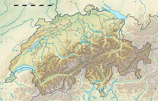
 Piz Vial Location in Switzerland | |
| Location | Graubünden, Switzerland |
| Parent range | Lepontine Alps |
The massif of Piz Vial consists of several summits (from west to east): Piz Valdraus (3,096 metres, northernmost point of Ticino), Piz Gaglianera (3,121 metres), Piz Vial and Piz Greina (3,124 metres). The northern crest of Piz Vial separates two glaciers, Glatscher da Valdraus on the west and another smaller glacier on the east.
References
- Retrieved from the Swisstopo topographic maps. The key col is the Fuorcla Sura da Lavaz (2,703 m.)
This article is issued from Wikipedia. The text is licensed under Creative Commons - Attribution - Sharealike. Additional terms may apply for the media files.