Piz Cambrialas
Piz Cambrialas (3,208 m) is a mountain of the Glarus Alps, overlooking the Val Russein in the Swiss canton of Graubünden.
| Piz Cambrialas | |
|---|---|
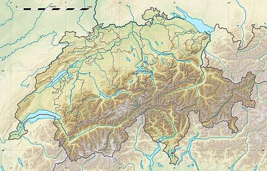
 Piz Cambrialas Location in Switzerland | |
| Highest point | |
| Elevation | 3,208 m (10,525 ft) |
| Prominence | 364 m (1,194 ft) [1] |
| Parent peak | Düssi |
| Coordinates | 46°47′22″N 8°51′07″E |
| Geography | |
| Location | Graubünden, Switzerland |
| Parent range | Glarus Alps |
| Climbing | |
| First ascent | North summit: 1866 by Utterson Kelso and Ambros Zgraggen South summit: 1905 by Fritz Weber and Josmarie Indergand[2] |
The mountain lies in the range between the Maderanertal and the Val Russein and has two summits of nearly-identical height separated by a ca. 100 m deep saddle. The north summit (3,205 m) is 100 m southeast of the watershed and the border with the canton of Uri. It can be relatively easily ascended over the Ober Hüfifirn glacier.
The 3 m higher south summit can be reached in about an hour over the ridge connecting the summits, via a 6-hour scramble over the south ridge, or via the east ridge with up to UIAA IV+ climbing.[3] The rarely visited true summit reportedly was only reached in 1905, very late for a mountain in the Alps and 39 years after the north summit had been scaled.[2]
References
- Retrieved from the Swisstopo topographic maps. The key col is the Fuorcla da Cavrein (2,844 m).
- Hugo Nünlist, Das Maderanertal einst und jetzt, p. 194, Murbacher-Verlag, Fritz Ineichen, 1968
- Toni Fullin, SAC-Clubführer Urner Alpen Ost, 1992