Piute Creek (Tuolumne River tributary)
Piute Creek is a 19-mile (31 km) long stream in northern Yosemite National Park, in Tuolumne County, California. It is a major tributary of the Tuolumne River, draining a rugged and remote area of the Sierra Nevada.
| Piute Creek | |
|---|---|
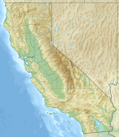 Location of Piute Creek in California | |
| Location | |
| Country | United States |
| State | California |
| Physical characteristics | |
| Source | Unnamed lake |
| • location | Sierra Nevada |
| • coordinates | 38°05′36″N 119°24′04″W[1] |
| • elevation | 10,302 ft (3,140 m) |
| Mouth | Tuolumne River |
• location | Pate Valley |
• coordinates | 37°55′48″N 119°36′03″W[1] |
• elevation | 4,344 ft (1,324 m) |
| Length | 18.87 mi (30.37 km)[n 1] |
The creek begins at an unnamed lake near Burro Pass and Matterhorn Peak, flowing west then southwest into Slide Canyon. Here, it briefly flows underground through a fallen talus pile known as "The Slide". Below Slide Canyon it receives Camp Creek and Rock Creek then descends steeply southwest into Benson Lake. After emerging from the southern end of the lake it flows through an area known as Pleasant Valley, where it passes the smaller Saddle Horse, Irwin Bright and Table Lakes, then drops over a long series of cascading waterfalls into the Grand Canyon of the Tuolumne. It joins with the Tuolumne River in Pate Valley, about 5 miles (8.0 km) upstream from Hetch Hetchy Reservoir.[2][3]
Piute Creek has also been known as Cascade Creek and Slide Creek.[1]
See also
References
- "Piute Creek". Geographic Names Information System. United States Geological Survey. 1981-01-19. Retrieved 2017-01-15.
- USGS Topo Maps for United States (Map). Cartography by United States Geological Survey. ACME Mapper. Retrieved 2017-01-15.
- Yosemite National Park (PDF) (Map). Cartography by National Park Service. U.S. National Park Service. 2003. Retrieved 2017-01-15.
Notes
- Length measured in Google Earth using the path measure tool.