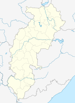
Pharasgaon
Pharasgaon or Parasgaon is a town in Kondagaon district, Chhattisgarh, India.
Pharasgaon farasgaon | |
|---|---|
town | |
 Pharasgaon  Pharasgaon | |
| Coordinates: 19°51′46″N 81°38′13″E | |
| Country | India |
| State | Chhattisgarh |
| District | Bastar |
| Government | |
| • Type | nagar panchayat |
| Elevation | 618 m (2,028 ft) |
| Languages | |
| • Official | Hindi, Chhattisgarhi |
| Time zone | UTC+5:30 (IST) |
| Vehicle registration | CG |
Geography
It is located at 19°51′46″N 81°38′13″E[1] at an altitude of 618 m.
Location
National Highway 30 passes through Pharasgaon. Nearest airport is Raipur Airport and nearest railway station is at Jagdalpur.
Kandagaon is 30 km south and Keskal 25 km north of Pharasgaon.
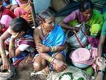
Weekly Village Market of Pharasgaon
gollark: You can make neutron fluid into Avarita or whatever neutronium?
gollark: Plus it scales better.
gollark: NC fusion is, of course, cooler.
gollark: Well, as someone without DE installed, I don't need that much.
gollark: DE. My least favourite mod.
External links
References
This article is issued from Wikipedia. The text is licensed under Creative Commons - Attribution - Sharealike. Additional terms may apply for the media files.