Perry County, New South Wales
Perry County is one of the 141 Cadastral divisions of New South Wales. It is located to the east of the Darling River near Pooncarie.
| Perry New South Wales | |||||||||||||||
|---|---|---|---|---|---|---|---|---|---|---|---|---|---|---|---|
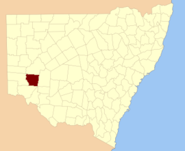 Location in New South Wales | |||||||||||||||
| |||||||||||||||
Perry County was named in honour of Samuel Augustus Perry (1792–1854), soldier and surveyor.[1]
Parishes within this county
A full list of parishes found within this county; their current LGA and mapping coordinates to the approximate centre of each location is as follows:
gollark: Macron idea: all functions are self-replicating.
gollark: Yes.
gollark: Macron idea: Macron can generate Macron at Macron time.
gollark: Macron idea: references to pointers to functions.
gollark: Macron idea: Minoteaur is a builtin.
References
- "Perry". Geographical Names Register (GNR) of NSW. Geographical Names Board of New South Wales. Retrieved 7 August 2013.

This article is issued from Wikipedia. The text is licensed under Creative Commons - Attribution - Sharealike. Additional terms may apply for the media files.