Penta, Chhattisgarh
Penta is a town in Dantewada district, Chhattisgarh, India.
Penta, Chhattisgarh | |
|---|---|
town | |
 Penta, Chhattisgarh  Penta, Chhattisgarh | |
| Coordinates: 18°7′0″N 81°29′0″E | |
| Country | India |
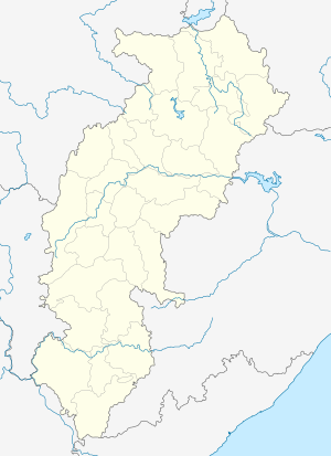
| State | Chhattisgarh |
| District | Dantewada |
| Elevation | 121 m (397 ft) |
| Languages | |
| • Official | Hindi, Chhattisgarhi |
| Time zone | UTC+5:30 (IST) |
| Vehicle registration | CG |
| Coastline | 0 kilometres (0 mi) |
Geography
It is located at 18°7′0″N 81°29′0″E at an elevation of 121 m above MSL.[1]
Location
Penta is connected to Jagdalpur by National Highway 221.
gollark: Yes, it does that.
gollark: Yes.
gollark: Ah, it probably ran out of storage.
gollark: I really should look into changing that in PotatOS Hypercycle™.
gollark: The white screens are BSODs.
References
- http://www.fallingrain.com/world/IN/37/Penta.html Map and weather of Penta
Nearest Airport is Hyderabad and nearest railway station head is dantewada.
This article is issued from Wikipedia. The text is licensed under Creative Commons - Attribution - Sharealike. Additional terms may apply for the media files.