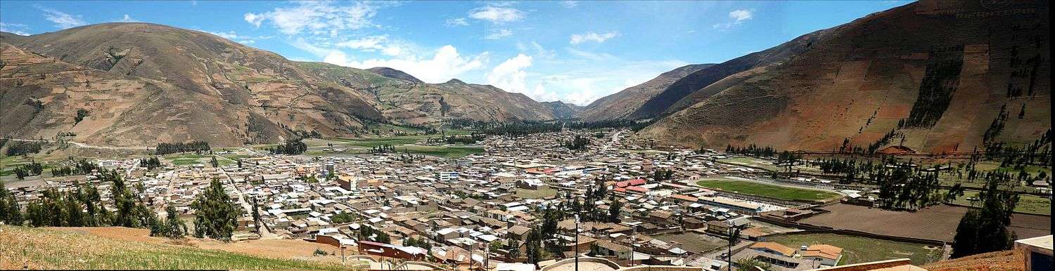
Pampas, Peru
Pampas is a city in Peru. It is the capital of the Tayacaja Province and it was established on June 21, 1825. According to the 2007 census had a population of 9,973 (11,566 in the metropolitan area).[1] It has an approximate altitude of 3,276 metres.
Pampas | |
|---|---|
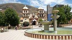 Plaza de Armas, Pampas | |
 Flag  Coat of arms | |
| Nickname(s): Ciudad de los Cuchimichis (The Cuchimichis City) | |
 Pampas | |
| Coordinates: 12°23′55.76″S 74°52′12.78″W | |
| Country | Peru |
| Region | Huancavelica |
| Province | Tayacaja |
| Established | 21 June 1825 |
| Government | |
| • Mayor | Jess Amrico Monge Abad |
| Area | |
| • Total | 52.264 km2 (20.179 sq mi) |
| Elevation | 3,276 m (10,748 ft) |
| Population | |
| • Total | 11,566 |
| • Density | 221.3/km2 (573/sq mi) |
| Time zone | UTC-5 (PET) |
| • Summer (DST) | UTC-5 (PET) |
| Area code(s) | 067 |
| Website | www.munitayacaja.gob.pe |
Transportation
The city is connected to the nearby cities like Huancayo and Ayacucho by partially paved roads.
Education
The city house a branch of the Universidad Nacional de Huancavelica and it is home of a local technical institute; the Instituto Tecnologico Pampas - Tayacaja.
Health
The city has now a new hospital, the Hospital Pampas that serve the city and the towns nearby.
Images
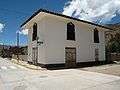 A house in Pampas.
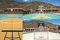 Futsal court in Pampas.
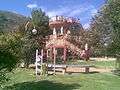 Slide in the "Parque Ecolgico de Pampas".
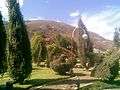 Gardens in the "Parque Ecolgico de Pampas".
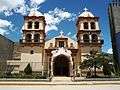 Cathedral of San Pedro de Pampas.
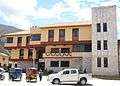 Municipality of Pampas.
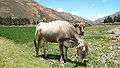 A cow in Pampas.
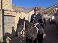 Pampino.
gollark: This makes sense as a display thing, but how do you run it *backward*?
gollark: I tried playing a 10Hz sine wave just now and I can't hear it.
gollark: The position of the pen clearly can't be being directly mapped to voltage on a speaker or something, because the frequency would be waaaaay too low to hear.
gollark: What property of the waveforms it's generating varies as you change X/Y?
gollark: I'm aware it's converting it into waveforms somehow. That's just very vague.
References
- Instituto Nacional de Estadstica e Informtica (2007). "Censos Nacionales 2007: XI de Poblacin y VI de Vivienda" (in Spanish). Archived from the original on May 5, 2012. Retrieved November 12, 2008.
Statistics taken of the agglomeration from Acraquia (799), Ahuaycha (794), Daniel Hernndez (3.946) and Pampas (6.027)
External links
| Wikimedia Commons has media related to Pampas (ciudad). |
This article is issued from Wikipedia. The text is licensed under Creative Commons - Attribution - Sharealike. Additional terms may apply for the media files.