Pamgarh
Pamgarh is a town in Janjgir-Champa district, Chhattisgarh, India. It is one of the 36 Garh of Chhattisgarh state. Pamgarh is on National Highway 200 National Highway 200 (India) and the Garh (fort) is visible from the road. Pamgarh hosts a police station. Nearby villages are Loharsi and Kharod which is famous for various ponds. Archeological items found during excavations include extended spinal cords.
Pamgarh | |
|---|---|
town | |
| Nickname(s): pmg | |
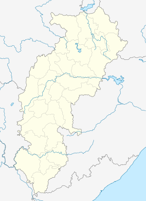 Pamgarh Location in Chhattisgarh, India  Pamgarh Pamgarh (India) | |
| Coordinates: 21°53′0″N 82°27′0″E | |
| Country | |
| State | Chhattisgarh |
| District | Janjgir-Champa |
| Elevation | 288 m (945 ft) |
| Languages | |
| • Official | Hindi, Chhattisgarhi |
| Time zone | UTC+5:30 (IST) |
| PIN | 495554 |
| Telephone code | 07818 |
| Vehicle registration | CG |
| Nearest city | Janjgir |
Geography
It is located at an altitude of 288 m above MSL.[1]
Location
The nearest airport is Raipur Airport.
National Highway 200 passes through Pamgarh.
Tourism
Lakshmaneshwar Temple and Dewarghata are tourist attractions in the vicinity. SheoriNarayan is a tourist place nearby. It got the name SheoriNarayan because Lord Rama ate ber (a type of fruit) at this place, with Shabari. So actually it is Shabri+Narayan(Rama).
References
- http://www.fallingrain.com/world/IN/37/Pamgarh.html Map and weather of Pamgarh
Mehandi is one of the small village near Pamagarh. It is famous as the location for the temple of Lord Hanumana.