Palmers Cross
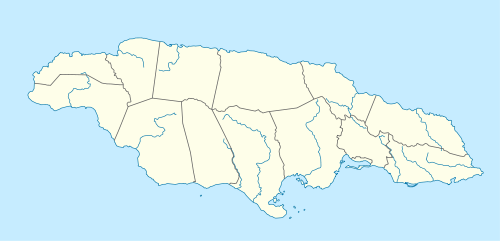
Palmers Cross is a district in south-central Jamaica, located to the east of May Pen in the parish of Clarendon. The approximate population of Palmers Cross is 26,262.[1]
Palmers Cross | |
|---|---|
 Palmers Cross | |
| Coordinates: 17.95089°N 77.20973°W | |
| Country | Jamaica |
| Parish | Clarendon |
Palmers Cross is the home of The Container Project, a non-profit UNESCO project bringing technology and self-sustainable media training to 'hard-to-reach' young people in Jamaica.[2]
History
On the UK Directorate of Overseas Surveys 1:50,000 map of 1973,[3] two small, neighbouring communities are shown in this vicinity, both centred on minor road junctions:
- a village called The Cross with a school and postal agency
- a hamlet called Palmers
It seems that in the years since they have grown and merged, their names being combined in the process. From satellite imagery the area is now clearly a contiguous suburb of May Pen.[4]
Amenities
There is a Junior High School formerly called Cross All Age School.[5]
References
- "Maps, Weather and Airports for Palmers Cross, Jamaica", Falling Rain Genomics, Inc., JM(1), Retrieved on 2009-06-29.
- "The Palmers Cross Chronicles: From Toronto To Clarendon", Jamlink.com, (115), Retrieved on 2009-09-09.
- UK Directorate of Overseas Surveys 1:50,000 map of Jamaica sheet H, 1973.
- Wikimapia 1.
- Wikimapia 2.
External links
- Aerial view
- Palmers Cross, Maps and facts from TravelingLuck.com
- Jarman's ark - Palmers Cross resident clicks with at-risk youth in computer hub, Shelly-Ann Harris, Jamaica Gleaner, 2008-06-28.