Paliem
Paliem Palye | |
|---|---|
village | |
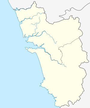 Paliem Location in Goa, India  Paliem Paliem (India) | |
| Coordinates: 15°43′0″N 73°42′0″E | |
| Country | |
| State | Goa |
| District | North Goa |
| Elevation | 7 m (23 ft) |
| Languages | |
| • Official | Konkani |
| Time zone | UTC+5:30 (IST) |
| Vehicle registration | GA 11 |
| Website | goa |
Paliem is a village in North Goa, India.
Geography
It is located at 15°43′0″N 73°42′0″E at an elevation of 7 m above MSL.[1] This village is located between Harmal and kerim.
Places To Visit
Bhomika vetal temple,Mahalaximi temple(Sirsat)
Location
Pernem is the nearest railway station. Paliem is quite near National Highway 17.
Places of interest
- Baga Beach
- Anjuna Beach
- Church of Our Lady of Miracles
- Arambol
- Morjim beach
- Mandrem beach(riva)
- Keri beach
- Tiracol fort
gollark: I mean, if you have a WAV *source* file, yes.
gollark: Inaccurate.
gollark: If you play that M4A file, which contains AAC audio (the exact same as in the video), your computer will be converting it into "raw" PCM audio internally, which is what I would be doing to make a WAV file.
gollark: Nope, that's inaccurate.
gollark: Nope.
References
- http://www.fallingrain.com/world/IN/33/Paliem.html Map and weather of Paliem
This article is issued from Wikipedia. The text is licensed under Creative Commons - Attribution - Sharealike. Additional terms may apply for the media files.