Pacheri
Pacheri is a village in the state of Rajasthan, India. It is inhabited by over 6,000 residents.
Pacheri | |
|---|---|
village | |
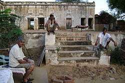 Pacheri Fort | |
 Pacheri Location in Rajasthan, India  Pacheri Pacheri (India) | |
| Coordinates: 28.1500°N 75.9333°E | |
| Country | |
| State | Rajasthan |
| District | Jhunjhunu |
| Elevation | 958 m (3,143 ft) |
| Population (2008) | |
| • Total | 6,000 |
| Languages | |
| • Official | Hindi |
| Time zone | UTC+5:30 (IST) |
| ISO 3166 code | IN-RJ |
Geography
Pacheri is located at 28.15°N 75.93°E.[1] It has an average elevation of 291 metres (958 feet).
gollark: Yes you can.
gollark: Equality™
gollark: Eat a random sample of the population!
gollark: Yes.
gollark: Oh, and they made the "DON'T TRADE WITH THIS DANGEROUS MAN" adverts, and made an exact replica of my tower beside my tower.
References
- "Maps, Weather, and Airports for Pacheri, India". www.fallingrain.com. Retrieved 26 March 2018.
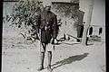 Thakur Dhukal Singhji
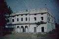 Fort Eastend
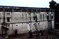 Fort Southend
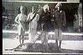 Villagers posing after a leopard hunt
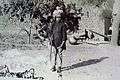 Sangram Singhji posing with his gun
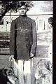 Sangram Singhji with his pets
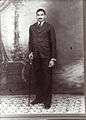 Portrait Sangram Singhji
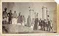 Pacheri Hunting Party Cira 1930
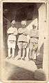 Pacheri Hunt
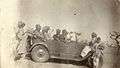 Pacheri Hunt
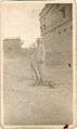 Pacheri Hunt
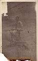 Pacheri Hunt
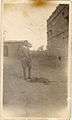 Pacheri Hunt
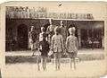 Pacheri Hunt
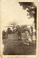 Pacheri Hunt
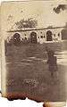 Sangram Singhji
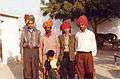 Sunil's Marriage - Birkali 1995 (Sangram Singhji's grandsons)
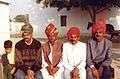 Sunil's Marriage - Birkali 1995 (Sangram Singhji's sons and grandson)
| Outline |
|  | |||||||||||||
|---|---|---|---|---|---|---|---|---|---|---|---|---|---|---|---|
| Governance |
| ||||||||||||||
| Divisions and districts |
| ||||||||||||||
| Major cities | |||||||||||||||
| Related templates |
| ||||||||||||||
This article is issued from Wikipedia. The text is licensed under Creative Commons - Attribution - Sharealike. Additional terms may apply for the media files.