Oromahoe
Oromahoe (Māori: Oromāhoe) is a locality in Northland, New Zealand. It lies on state highway 10.
Oromahoe | |
|---|---|
 Oromahoe | |
| Coordinates: 35°19′14″S 173°58′38″E | |
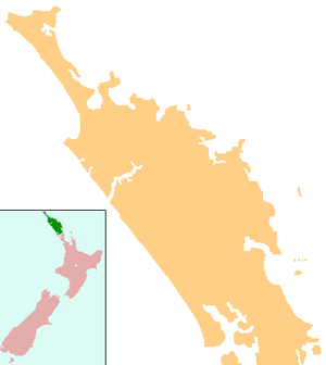
| Country | New Zealand |
| Region | Northland Region |
| District | Far North District |
Oromāhoe Marae and Ngāti Kawa meeting house are a meeting ground for the local Ngāpuhi hapū of Ngāti Kawa and Ngāti Rāhiri.[1][2]
Education
Oromahoe School is a coeducational full primary (years 1-8) school with a decile rating of 6 and a roll of 58 in 2009.[3] It was established as a mission school in the 1870s, and later became a Native School.[4] More than 80% of students live outside the school bus area and are transported to and from school by private vehicles.[5]
Notes
- "Te Kāhui Māngai directory". tkm.govt.nz. Te Puni Kōkiri.
- "Māori Maps". maorimaps.com. Te Potiki National Trust.
- "Te Kete Ipurangi - Oromahoe School". Ministry of Education.
- "Oromahoe School".
- "Oromahoe School - A Star School". Archived from the original on 19 December 2007. Retrieved 20 January 2008.
gollark: There's actually H.266 now.
gollark: Their file is 1GB and too slow to upload.
gollark: It lacks consistent support.
gollark: Probably just use H.264. VP9 if you're cool™ or have hardware encoding for it.
gollark: Incorrect question. The codec matters, not the container.
This article is issued from Wikipedia. The text is licensed under Creative Commons - Attribution - Sharealike. Additional terms may apply for the media files.