Ohangai
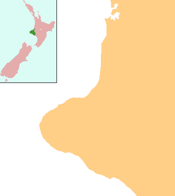
Ohangai is a locality in South Taranaki, New Zealand. It is approximately 10 km east of Hawera and 6 km north of Mokoia[1][2]
Ohangai | |
|---|---|
 Ohangai | |
| Coordinates: 39°35′6″S 174°23′19″E | |
| Country | New Zealand |
| Region | Taranaki |
| District | South Taranaki District |
The New Zealand Ministry for Culture and Heritage gives a translation of "opposite place" for Ōhāngai.[3]
The local Meremere Marae and its Tataurangi meeting house are affiliated with the Ngāti Ruanui hapū of Ngā Ariki, Ngāti Hine and Tūwhakaehu.[4][5]
Education
Ohangai School was a coeducational contributing primary (years 1-6) school, which celebrated its centennial in 2006.[6] It closed in 2012.[7]
gollark: Basicallyscore = views + unique views * 6 + clicks * 12if hatchling, optimal score is 13000 at 4d and 5000 at 7d (between the two extremes, it's averaged)if egg, optimal score is 5000 at 4d and 0 at 7d (averaged again)it's safeish if the score is less than 1.5x the optimal score.
gollark: ```javascriptfunction getScore(dragon) { return dragon.views + (dragon.uniqueViews * 6) + (dragon.clicks * 12);}const nextStageAge = 72;const maxTime = 168;function getOptimalScore(dragon) { const time = dragon.hoursRemaining; const age = maxTime - time; if (dragon.type == "hatchling") { return 5000 + (8000 * (age / nextStageAge)); } else { return 5000 * (age / nextStageAge); }}function getScoreRatio(dragon) { return getScore(dragon) / getOptimalScore(dragon);}function isSafe(dragon) { return getScoreRatio(dragon) < 1.5;}```
gollark: I guess that since I'm banned anyway I might as well show my modified EATW formula...
gollark: I mean, it'd be hard to viewbomb something that old.
gollark: It's basically politics in a dictatorship.
References
- Peter Dowling (editor) (2004), Reed New Zealand Atlas, Reed Books, pp. map 35, ISBN 0-7900-0952-8CS1 maint: extra text: authors list (link)
- Roger Smith, GeographX (2005), The Geographic Atlas of New Zealand, Robbie Burton, pp. map 97, ISBN 1-877333-20-4
- "1000 Māori place names". New Zealand Ministry for Culture and Heritage. 6 August 2019.
- "Te Kāhui Māngai directory". tkm.govt.nz. Te Puni Kōkiri.
- "Māori Maps". maorimaps.com. Te Potiki National Trust.
- "Ohangai School and Districts 100th Centennial, 1906–2006", Education Gazette New Zealand, 83 (18), 4 October 2004
- Jo Moir and Laird Harper (18 April 2012). "Falling roll death knell for school". Taranaki Daily News.
This article is issued from Wikipedia. The text is licensed under Creative Commons - Attribution - Sharealike. Additional terms may apply for the media files.