Ogle County Airport
Ogle County Airport (FAA LID: C55) is a public use airport located two nautical miles (2.3 mi, 3.7 km) southeast of the central business district of Mount Morris, a village in Ogle County, Illinois, United States. The airport is privately owned by Ogle County Pilots Inc.[1]
Ogle County Airport | |||||||||||
|---|---|---|---|---|---|---|---|---|---|---|---|
| Summary | |||||||||||
| Airport type | Public | ||||||||||
| Owner | Ogle County Pilots Inc. | ||||||||||
| Serves | Mount Morris, Illinois | ||||||||||
| Elevation AMSL | 929 ft / 283 m | ||||||||||
| Coordinates | 42°02′14″N 89°23′34″W | ||||||||||
| Website | http://www.oglecountyairport.com/ | ||||||||||
| Maps | |||||||||||
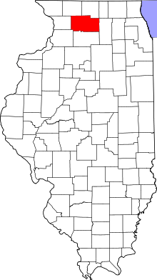 Location of Ogle County in Illinois | |||||||||||
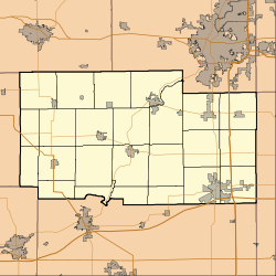 C55 Location of airport in Ogle County | |||||||||||
| Runways | |||||||||||
| |||||||||||
| Statistics (2008) | |||||||||||
| |||||||||||
Facilities and aircraft
Ogle County Airport covers an area of 42 acres (17 ha) at an elevation of 929 feet (283 m) above mean sea level. It has one runway designated 9/27 with a turf surface measuring 2,640 by 200 feet (805 x 61 m).[1]
For the 12-month period ending December 31, 2008, the airport had 6,500 general aviation aircraft operations, an average of 17 per day. At that time there were 14 aircraft based at this airport: 93% single-engine and 7% ultralight.[1]
gollark: Episodes of what?
gollark: I'm watchthroughing Adventure Time (very slowly), and am up to S6E20 or so.
gollark: I only watch things which I watch.
gollark: English is a very evil language to learn too.
gollark: Also, there's apparently another civilization which compacted their ENTIRE GALAXY into a space of a few light-years, and is doing... something with that.
References
- FAA Airport Master Record for C55 (Form 5010 PDF). Federal Aviation Administration. effective 30 June 2011.
External links
- Resources for this airport:
- FAA airport information for C55
- AirNav airport information for C55
- FlightAware airport information and live flight tracker
- SkyVector aeronautical chart for C55
This article is issued from Wikipedia. The text is licensed under Creative Commons - Attribution - Sharealike. Additional terms may apply for the media files.