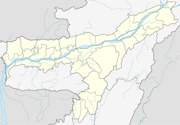
Odalguri
Odalguri (/ˌɒdɑːlˈɡʊəri/; also spelt Udalguri) is a town and the headquarters of Udalguri district under the jurisdiction of Bodoland Territorial Council which controls the Bodoland Territorial Area Districts in the state of Assam.
Odalguri | |
|---|---|
Town | |
 Odalguri Location in Assam, India  Odalguri Odalguri (India) | |
| Coordinates: 26.7452°N 92.0962°E | |
| Country | India |
| State | Assam |
| District | Udalguri district |
| Government | |
| • Body | Udalguri Municipal Board |
| Area | |
| • Total | 4.69 km2 (1.81 sq mi) |
| Elevation | 180 m (590 ft) |
| Population (2011) | |
| • Total | 15,279 |
| • Density | 3,300/km2 (8,400/sq mi) |
| Languages | |
| • Official | Bodo |
| Time zone | UTC+5:30 (IST) |
| PIN | 784509 |
| Telephone code | 03711 XXXXXX |
| Vehicle registration | AS-27 |
| Website | udalguri |
Geography
Odalguri is located at 26.7452°N 92.0962°E.[1] It has an average elevation of 180 metres (590 feet).
Politics
Odalguri is part of Mangaldoi (Lok Sabha constituency).[2]
gollark: <@805534998660775986> <@509849474647064576>
gollark: <@805534998660775986>
gollark: Ah, great.
gollark: ++magic py```#timeout:0import asynciowhile True: await ctx.send("h") await asyncio.sleep(2.5)```
gollark: Oh. Hmm. It's duplicating here again.
References
- Falling Rain Genomics, Inc – Odalguri
- "List of Parliamentary & Assembly Constituencies" (PDF). Assam. Election Commission of India. Archived from the original (PDF) on 4 May 2006. Retrieved 6 October 2008.
External links
This article is issued from Wikipedia. The text is licensed under Creative Commons - Attribution - Sharealike. Additional terms may apply for the media files.