Obretenik Bastion
Obretenik Bastion (Bulgarian: рид Обретеник, ‘Rid Obretenik’ \'rid o-'bre-te-nik\ is the ice-covered buttress rising to 1800 m at the northeast extremity of Herbert Plateau on Danco Coast in Graham Land, Antarctica. It is situated between upper Blériot Glacier and upper Cayley Glacier, and has steep and partly ice-free west, north and east slopes.
The buttress is named after the settlement of Obretenik in Northeastern Bulgaria.
Location
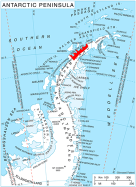
Obretenik Bastion is located at 64°29′38″S 60°59′55″W, which is 17.3 km southeast of Brabazon Point, 10 km south of Mount Morton, 14.45 km southwest of Mount Berry, and 6.85 km north of Molerov Spur on Nordenskjöld Coast. British mapping in 1978.
Maps
- British Antarctic Territory. Scale 1:200000 topographic map. DOS 610 Series, Sheet W 64 60. Directorate of Overseas Surveys, Tolworth, UK, 1978.
- Antarctic Digital Database (ADD). Scale 1:250000 topographic map of Antarctica. Scientific Committee on Antarctic Research (SCAR). Since 1993, regularly upgraded and updated.
References
- Bulgarian Antarctic Gazetteer. Antarctic Place-names Commission. (details in Bulgarian, basic data in English)
- Obretenik Bastion. SCAR Composite Gazetteer of Antarctica
External links
- Obretenik Bastion. Copernix satellite image
This article includes information from the Antarctic Place-names Commission of Bulgaria which is used with permission.