Obigarm
Obigarm (Tajik: Обигарм) is a town in Tajikistan, located in Roghun district in the central part of the Region of Republican Subordination, just north of the district capital of Roghun.[2]
Obigarm Обигарм | |
|---|---|
 | |
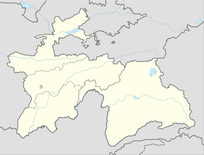 Obigarm Location in Tajikistan | |
| Coordinates: 38°43′N 69°43′E | |
| Country | |
| Province | Region of Republican Subordination |
| District | Roghun District |
| Elevation | 1,348 m (4,423 ft) |
| Population (2008) | |
| • Total | 7,500 |
| Time zone | UTC+5 |
The population of Obigarm in 2007 is estimated at 7,500.[3]
Climate
Obigarm has a Warm Summer Continental Climate (Köppen: Dfb) and experiences wet and cold winters with dry cool summers. The average annual temperature is 9.4 °C (48.9 °F). The warmest month is July with an average temperature of 27 °C (80.6 °F) and the coolest month is January with an average temperature of -4.1 °C (24.6 °F). The average annual precipitation is 853.4 mm (33.6") and has an average of 84.7 days with precipitation. The wettest month is March with an average of 147.9 mm (5.8") of precipitation and the driest month is August with an average of 3.3 mm (0.1") of precipitation.[1]
| Climate data for Obigarm | |||||||||||||
|---|---|---|---|---|---|---|---|---|---|---|---|---|---|
| Month | Jan | Feb | Mar | Apr | May | Jun | Jul | Aug | Sep | Oct | Nov | Dec | Year |
| Average high °C (°F) | −1.8 (28.8) |
−0.5 (31.1) |
5.3 (41.5) |
12.6 (54.7) |
17.5 (63.5) |
23.6 (74.5) |
27.0 (80.6) |
26.3 (79.3) |
22.0 (71.6) |
14.4 (57.9) |
7.2 (45.0) |
1.1 (34.0) |
12.9 (55.2) |
| Daily mean °C (°F) | −4.1 (24.6) |
−2.2 (28.0) |
3.5 (38.3) |
10.2 (50.4) |
14.2 (57.6) |
19.0 (66.2) |
21.9 (71.4) |
20.7 (69.3) |
15.9 (60.6) |
10.1 (50.2) |
4.2 (39.6) |
−0.6 (30.9) |
9.4 (48.9) |
| Average low °C (°F) | −10.8 (12.6) |
−9.6 (14.7) |
−3.9 (25.0) |
2.1 (35.8) |
5.5 (41.9) |
9.3 (48.7) |
11.8 (53.2) |
10.5 (50.9) |
5.9 (42.6) |
1.0 (33.8) |
−3.6 (25.5) |
−7.3 (18.9) |
0.9 (33.6) |
| Average precipitation mm (inches) | 87.8 (3.46) |
104.6 (4.12) |
147.9 (5.82) |
144.0 (5.67) |
121.9 (4.80) |
27.6 (1.09) |
12.3 (0.48) |
3.3 (0.13) |
4.5 (0.18) |
52.8 (2.08) |
65.4 (2.57) |
81.3 (3.20) |
853.4 (33.6) |
| Average precipitation days | 8.6 | 10.1 | 12.6 | 12.3 | 11.0 | 4.4 | 2.6 | 1.2 | 1.6 | 5.4 | 6.5 | 8.4 | 84.7 |
| Average relative humidity (%) | 69.2 | 68.8 | 64.8 | 61.7 | 56.3 | 42.7 | 37.9 | 38.8 | 41.7 | 51.2 | 58.8 | 66.1 | 54.8 |
| Source: Weatherbase.com [1] | |||||||||||||
References
- "Climate of Obigarm". Retrieved 13 August 2014.
- Republic of Tajikistan, map showing administrative division as of January 1, 2004, "Tojikkoinot" Cartographic Press, Dushanbe
- Population of the Republic of Tajikistan as of 1 January 2008, State Committee of Statistics, Dushanbe, 2008 (in Russian)