Oberbauer Point
Oberbauer Point (Bulgarian: нос Обербауер, ‘Nos Oberbauer’ \'nos 'o-ber-ba-u-er\) is the point on the west side of the entrance to Gerritsz Bay on the north coast of Anvers Island in the Palmer Archipelago, Antarctica.
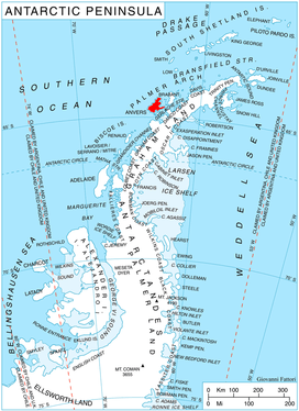
Location of Anvers Island in the Antarctic Peninsula region.
The point is named after the Austrian Bulgarian artist Joseph Oberbauer (1853-1926).
Location
Oberbauer Point is located at 64°15′02″S 63°26′09″W, which is 5.67 km west of Cape Grönland and 13.52 km northeast of Quinton Point. British mapping in 1980.
Maps
- British Antarctic Territory. Scale 1:200000 topographic map. DOS 610 Series, Sheet W 64 62. Directorate of Overseas Surveys, UK, 1980.
- Antarctic Digital Database (ADD). Scale 1:250000 topographic map of Antarctica. Scientific Committee on Antarctic Research (SCAR). Since 1993, regularly upgraded and updated.
gollark: No, *`cargo`* is the way.
gollark: Or - as is traditional for simpler tools - `build.sh`.
gollark: Or use the magic of makefiles!
gollark: Down with C tooling!
gollark: Rust also > C.
References
- Bulgarian Antarctic Gazetteer. Antarctic Place-names Commission. (details in Bulgarian, basic data in English)
- Oberbauer Point. SCAR Composite Antarctic Gazetteer.
External links
- Oberbauer Point. Copernix satellite image
This article includes information from the Antarctic Place-names Commission of Bulgaria which is used with permission.
This article is issued from Wikipedia. The text is licensed under Creative Commons - Attribution - Sharealike. Additional terms may apply for the media files.