Nzhelele River
The Nzhelele River is a major watercourse in Limpopo Province, South Africa. The river's catchment area comprises 2,436 square kilometers.[2]
| Nzhelele River | |
|---|---|
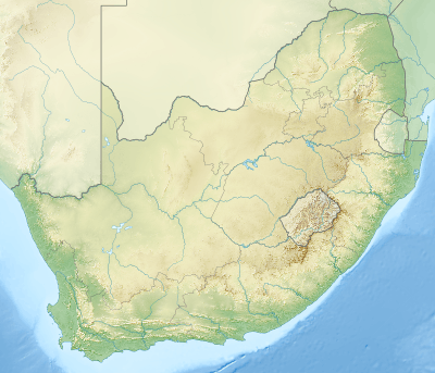 Location of the Nzhelele River mouth | |
| Etymology | Nzhelele meaning a falcon or an eagle that in ancient times followed elephant hunters and fed on the meat hanging in the trees to dry.[1] |
| Location | |
| Country | South Africa |
| State | Limpopo Province |
| Region | Dzanani |
| District | Vhembe |
| Municipality | Makhado |
| Physical characteristics | |
| Source | Thathe Vondo |
| • location | Soutpansberg |
| • elevation | 1,673 m (5,489 ft) |
| Mouth | |
• location | Limpopo River, South Africa/Zimbabwe border |
• coordinates | 22°21′08″S 30°22′19″E |
• elevation | 404 m (1,325 ft) |
| Basin size | 2,436 km2 (941 sq mi) |
| Basin features | |
| Tributaries | |
| • left | Mutamba |
| • right | Mufungudi, Tshishiru |
Course
This river collects much of the drainage of the northern slopes of the extensive rock formation of the Soutpansberg. Leaving the mountainous area, it meanders in a northeastward direction across the Lowveld, a wide plain that contains considerable biodiversity, including numerous large mammals such as giraffes, white rhinos and blue wildebeests.[3] It joins the right bank of the Limpopo River 33 km east of Musina.[4]
The Mutamba River, its main tributary, rises in the Buelgum Poort farm of the Soutpansberg, further west from the sources of the Nzhelele.[5] Other tributaries are the Tshiruru River, Mugungudi River, Mutshedzi River and the Wyllie River.[6]
Dams in the basin
- Nzhelele Dam
- Mutshedzi Dam, in the Mutshedzi River
References
- Transvaal Indigenous Place Names Archived 2008-10-31 at the Wayback Machine
- Major rivers and streams within the Limpopo River Basin
- Sites - Important Bird Areas (IBAs) - Soutpansberg
- "Nzhelele Sub-basin". Archived from the original on 2012-04-20. Retrieved 2012-03-24.
- Soutpansberg - Geology and Geography
- Groundwater in the Limpopo Basin: occurrence, use and impact