Nyakahita
Nyakahita is a sparsely populated settlement in the Western Region of Uganda.[2]
Nyakahita | |
|---|---|
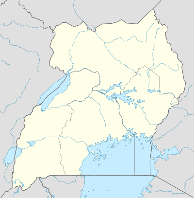 Nyakahita Map of Uganda showing the location of Nyakahita. | |
| Coordinates: 00°24′48″S 31°06′46″E | |
| Region | Western Region of Uganda |
| Sub-region | Ankole sub-region |
| District | Kiruhura District |
| County | Nyabushozi County |
| Constituency | Nyabushozi County |
| Government | |
| • MP | Fred Mwesigye[1] |
| Elevation | 1,400 m (4,600 ft) |
| Time zone | UTC+3 (EAT) |
Location
The settlement is approximately 59 kilometres (37 mi), by road, east of Mbarara, the largest city in the Ankole sub-region along the Mbarara–Masaka highway.[3] It is about 216 kilometres (134 mi), by road, southwest of Kampala, the capital and largest city of Uganda.[4] The coordinates of Nyakahita are:0°24'48.0"S 31°06'46.0"E (Latitude:-0.413333; Longitude:31.112778).[5]
Points of interest
The Nyakahita–Kazo–Kamwenge–Fort Portal Road makes a T-junction with the
Mbarara-Masaka highway at Nyakahita. The town of Lyantonde, population 13,586 people in 2014,[6] in Lyantonde District, lies to the immediate east of Nyakahita on this highway.
gollark: Imagine using cans.
gollark: They have a bunch of important sensory things, if I recall correctly.
gollark: Well, all sufficiently popular things are inevitably allowed.
gollark: https://images-ext-2.discordapp.net/external/ipOgLS05v7Yg1eDrnWrXSBuhTcCFef4Tqz6pBIhw1gE/https/www.qwantz.com/comics/comic2-4015.png
gollark: I can totally comprehend it though.
References
- POU, . (25 July 2015). "Profile of Fred Mwesigye, Member of Parliament for Nyabushozi County, Kiruhura District". Parliament of Uganda (POU). Archived from the original on 27 May 2016. Retrieved 25 July 2015.CS1 maint: numeric names: authors list (link)
- LCMT (14 August 2017). "Map of Nyakahita Parish, Kiruhura District, Western Region, Uganda". Land Conflict Mapping Tool (LCMT). Retrieved 14 August 2017.
- GFC (14 August 2017). "Distance between Mbarara, Western Region, Uganda and Nyakahita Rwebs, Nyabushozi, Western Region, Uganda". Globefeed.com (GFC). Retrieved 14 August 2017.
- GFC (14 August 2017). "Distance between Post Office Building, Kampala Road, Kampala, Uganda and Nyakahita Rwebs, Nyabushozi, Western Region, Uganda". Globefeed.com (GFC). Retrieved 14 August 2017.
- Google (14 August 2017). "Location of Nyakahita at Google Maps" (Map). Google Maps. Google. Retrieved 14 August 2017.
- UBOS (November 2014). "National Population and Housing Census 2014: Provisional Results: Appendix 3 - Households and Population by Subcounty/ Town Council/Urban Division and Sex, 2014" (PDF). Kampala: Uganda Bureau of Statistics (UBOS). Archived from the original (PDF) on 10 January 2017. Retrieved 14 August 2017.
External links
This article is issued from Wikipedia. The text is licensed under Creative Commons - Attribution - Sharealike. Additional terms may apply for the media files.