Niviarsiat
Niviarsiat is a mountain in the Kujalleq municipality, southern Greenland.[2]
| Niviarsiat | |
|---|---|
| Niviarsiat Qaqat | |
| Highest point | |
| Elevation | 1,300 m (4,300 ft) |
| Coordinates | 61°25′N 45°13′W [1] |
| Geography | |
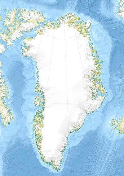
| Location | Kujalleq, Greenland |
Geography
This mountain is a 1,300 m high summit with multiple peaks rising to the northeast of the Kiattuut Sermiat glacier.[3]
Niviarsiat is located near the southern end of the Greenland ice sheet and is conspicuous.[4]
History
Wilhelm August Graah during his 1829 expedition, thought that he could see the Niviarsiat peaks from a hilltop of Griffenfeldt Island in the eastern coast of Greenland:
They were probably, the tops of Niviarsiet, or The Maidens, in the district of Juliana's Hope.[5]
Despite the distance across the ice sheet, other authors regard Graah's conclusion as correct.[6]
gollark: You can get some tiny microcontrollers, and it could probably be engineered to move itself slightly with just a vibration motor.
gollark: I'm aware it's a deliberate design decision, I just dislike it.
gollark: I don't really like Gemini myself. It's intentionally crippled as a prøtocol.
gollark: Yes. Syscalls will be replaced with HTTP.
gollark: C is basically just portable assembly with `{}` syntax.
See also
References
- GoogleEarth
- "Niviarsiat". Mapcarta. Retrieved 24 May 2019.
- "Bulletin 21, 2010 - GEUS" (PDF). Geological Survey of Denmark and Greenland. Retrieved 24 May 2019.
- Daniel Bruun, Icelandic Colonization of Greenland, p. 202. Full text of "Meddelelser om Grønland" - Internet Archive
- W.A. Graah, Narrative of an Expedition to the East Coast of Greenland, London, 1837 p. 85
- James Nicol, An Historical and Descriptive Account of Iceland, Greenland, and the Faroe Islands, p. 228
This article is issued from Wikipedia. The text is licensed under Creative Commons - Attribution - Sharealike. Additional terms may apply for the media files.