New Monterey, Monterey, California
New Monterey is a former unincorporated community incorporated in Monterey in Monterey County, California.[1] It is located north of the Presidio of Monterey,[2] at an elevation of 56 feet (17 m).[1] Monterey's famous Cannery Row is located in New Monterey neighborhood.
New Monterey | |
|---|---|
Former unincorporated community | |
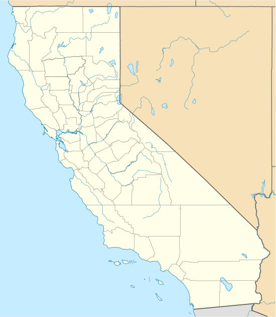 New Monterey Location in California | |
| Coordinates: 36°36′53″N 121°54′08″W | |
| Country | United States |
| State | California |
| County | Monterey County |
| City | Monterey |
| Elevation | 56 ft (17 m) |
The New Monterey post office operated from 1909 to 1913.[2]
Government
Because New Monterey falls within the Monterey city limits, it is governed by Monterey's mayor and 4 city council members, all elected by the public.[3] As of December 2019, the mayor is Clyde Roberson and the city council members are Dan Albert, Jr., Alan Haffa, Ed Smith, and Tyller Williamson.[3]
At the county level, Monterey is represented on the Monterey County Board of Supervisors by [Mary Adams (politician)|Supervisor Mary Adams].[4]
In the California State Legislature, New Monterey is in the 17th Senate District, represented by Democrat Bill Monning, and in the 29th Assembly District, represented by Democrat Mark Stone.[5]
In the United States House of Representatives, New Monterey is in California's 20th congressional district, represented by Democrat Jimmy Panetta.[6]
See also
References
- U.S. Geological Survey Geographic Names Information System: New Monterey, Monterey, California
- Durham, David L. (1998). California's Geographic Names: A Gazetteer of Historic and Modern Names of the State. Clovis, Calif.: Word Dancer Press. p. 926. ISBN 1-884995-14-4.
- "City Council". City of Monterey California. Retrieved 2019-12-18.
- "Monterey County Supervisorial District 5 Map (North District 5)" (PDF). County of Monterey. Archived from the original (PDF) on 1 July 2012. Retrieved 21 September 2012.
- "Statewide Database". UC Regents. Archived from the original on February 1, 2015. Retrieved February 11, 2015.
- "California's 20th Congressional District - Representatives & District Map". Civic Impulse, LLC.