Nebraska's congressional districts
Nebraska has three congressional districts due to its population, each of which elects a member to the United States House of Representatives.
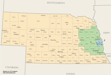
Census Bureau population growth estimates indicated that Nebraska will keep its third district seat after the 2020 census. An estimate from 2014 indicates that in 2020 Nebraska will have 1.957 million inhabitants, 90,000 inhabitants more than necessary for a third district.[2]
Unlike every other US State except for Maine, Nebraska apportions its Electoral College votes according to congressional district, making each district its own separate battleground in US presidential elections.
Current districts and representatives
List of members of the Nebraskan United States House delegation, district boundaries, and the district political ratings according to the CPVI. The delegation has a total of 3 members, all of whom are Republicans
| District | Representative | Party | CPVI | Incumbent time in office | District map |
|---|---|---|---|---|---|
| 1st |  |
Republican | R+11 | January 3, 2005 – present | .tif.png) |
| 2nd |  |
Republican | R+4 | January 3, 2017 – present | .tif.png) |
| 3rd |  |
Republican | R+27 | January 3, 2007 – present | .tif.png) |
Historical and present district boundaries
Table of United States congressional district boundary maps in the State of Nebraska, presented chronologically.[3] All redistricting events that took place in Nebraska between 1973 and 2013 are shown. District numbers are represented by the map fill colors.
| Year | Statewide map |
|---|---|
| 1973–1982 | 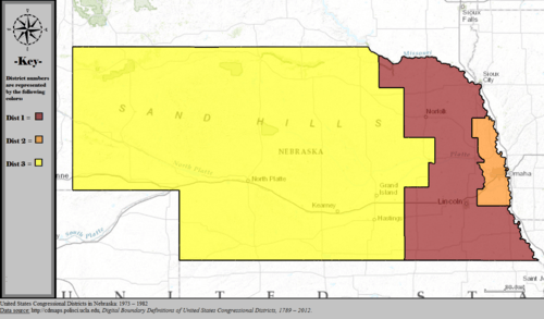 |
| 1983–1992 | 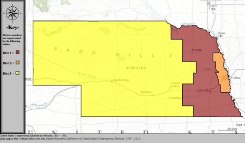 |
| 1993–2002 | 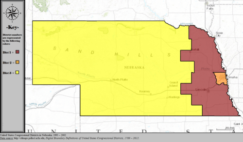 |
| 2003–2013 | 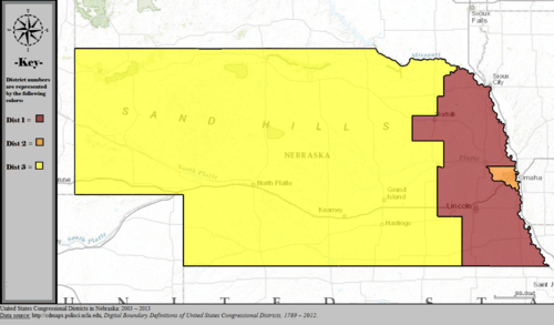 |
| Since 2013 | 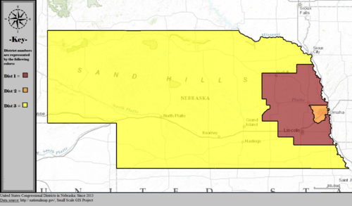 |
Obsolete districts
Fourth district
The fourth district seat was eliminated after the 1960 census.
Fifth district
The fifth district seat was eliminated after the 1940 census.
Sixth district
The sixth district seat was eliminated after the 1930 census.
At-large district
The at-large district seat was eliminated in 1883.
References
- "The national atlas". nationalatlas.gov. Archived from the original on February 22, 2014. Retrieved February 22, 2014.
- https://www.electiondataservices.com/wp-content/uploads/2014/10/NR_Appor14bwTablesMaps.pdf
- "Digital Boundary Definitions of United States Congressional Districts, 1789–2012". Retrieved October 18, 2014.