Nambiyur
Nambiyur is a Panchayat town and Panchayat Union in Nambiyur Taluk, Erode district, Tamil Nadu, in India.
Nambiyur | |
|---|---|
Taluk headquarters _Town | |
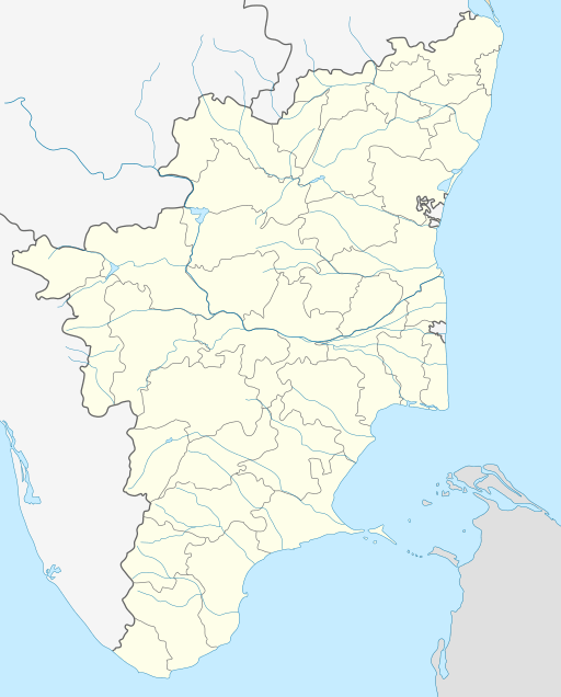 Nambiyur Location in Tamil Nadu, India | |
| Coordinates: 11.3568791°N 77.3189509°E | |
| Country | |
| State | Tamil Nadu |
| Region | Kongu Nadu |
| District | Erode |
| Elevation | 301 m (988 ft) |
| Population (2011) | |
| • Total | 26,379 |
| Languages | |
| • Official | Tamil |
| Time zone | UTC+5:30 (IST) |
| PIN | 638458 |
| Vehicle registration | TN-36 |
"Nambiyur" is one of the new taluks in Erode district;Currently, Taluk office is present near Indian Oil petrol Bunk, in Nambiyur.
The Nambiyur was ruled by a small and proud king named "Nambi"; after his death, the people and the king's family named the town Nambiyur.
Geography
Nambiyur is located at 11.3568791°N 77.3189509°E.[1] It has an average elevation of 301 metres (987 feet).
Demographics
As of 2011 India census, for Nambiyur Statistics Nambiyur had a population of 16,379. Males constitute 49.6% of the population and females 51.4%. Nambiyur has an average literacy rate of 65% (58% in 2001); male literacy is 73% (67% in 2001), and female literacy is 58% (50% in 2001). In Nambiyur, 9% of the population is in the age group 0–6 years.
References
- "Falling Rain Genomics, Inc - Nambiyur". Fallingrain.com. Retrieved 25 January 2012.