Mountain Home Range
The Mountain Home Range is a north-south trending mountain range in western Beaver County in southwest Utah, United States.[1] It is part of the Basin and Range Province. It is bound by Hamlin Valley to the west, Snake Valley (part of this area known as Antelope Valley on some maps) to the north, Pine Valley to the east, and trends into the Indian Peak Range to the south. Collectively, the Mountain Home Range and Indian Peak Range are known as the Needle Mountains due to their jagged nature.[2][3]
| Mountain Home Range | |
|---|---|
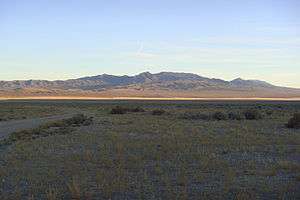 The range at sunset, from the northwest | |
| Highest point | |
| Peak | Needle Benchmark |
| Elevation | 9,480 ft (2,890 m) |
| Coordinates | 38°29′24″N 113°57′29″W |
| Dimensions | |
| Length | 25 mi (40 km) N/S |
| Width | 23 mi (37 km) E/W |
| Area | 424 sq mi (1,100 km2) |
| Geography | |
 Mountain Home Range | |
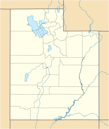
| Country | United States |
| State | Utah |
The highest peak in the range, known simply as the 'Needle benchmark,' is 9,480 feet (2,890 m) tall.[4]
The range is very uncommonly used by humans, and is more known for wildlife and wild horses.[5]
Geology
The northern part of the range is made of Paleozoic carbonate rocks which are part of a long structural trend of rocks that go through the Burbank Hills, Conger Range, and Confusion Range. This is highlighted by a massive (30 by 50 mile) syncline.[6] The southern part of the range is made of mid-Tertiary ignimbrites from the Indian Peak Caldera Complex.[7]
References
- U.S. Geological Survey Geographic Names Information System: Mountain Home Range
- Van Cott, John W. (1990). Utah Place Names. Salt Lake City, Utah: University of Utah Press. p. 62. ISBN 0-87480-345-4.
- "Mountain Home Range". Peakbagger.com. Retrieved January 13, 2013.
- "Needle Benchmark, Utah". Peakbagger.com. Retrieved January 13, 2013.
- "Archived copy". Archived from the original on 2010-04-05. Retrieved 2009-12-08.CS1 maint: archived copy as title (link)
- Halka Chronic, 1990, Roadside Geology of Utah, ISBN 0-87842-228-5
- Hintze and Davis, 2002, GEOLOGIC MAP OF THE WAH WAH MOUNTAINS NORTH 30′ x 60′ QUADRANGLE AND PART OF THE GARRISON 30′ x 60′ QUADRANGLE, SOUTHWEST MILLARD COUNTY AND PART OF BEAVER COUNTY, UTAH, ISBN 1-55791-584-9