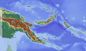
Mount Victory, Papua New Guinea
Mount Victory is an active volcano on the north east coast of Oro Province, Papua New Guinea with a height of 1,884 metres (6,181 ft).[1] It is bounded by the Ajova River.
| Mount Victory | |
|---|---|
 Mount Victory | |
| Highest point | |
| Coordinates | 9°13′S 149°04′E |
| Geography | |
| Location | Oro Province, Papua New Guinea |
| Geology | |
| Last eruption | 1935 |
The mountain is a major andesite volcano, with the magma known for its high levels of Nickel and Chromium. Captain John Moresby named the mountain after HMS Victory. The volcano was used as a beacon due by ships, due to the red crater glow. It last erupted in 1935.
Hydrographers Range, Mount Lamington, and Mount Trafalgar are three other large Quaternary stratovolcanoes in south-eastern New Guinea.
References
References cited
- National Geospatial-Intelligence Agency (2011). Pub. 164 Sailing Directions (Enroute)—New Guinea. Sailing Directions (Enroute). Springfield, Virginia: United States Government—National Geospatial-Intelligence Agency.CS1 maint: ref=harv (link)
This article is issued from Wikipedia. The text is licensed under Creative Commons - Attribution - Sharealike. Additional terms may apply for the media files.